
Wendequellgebiet, nature reserve in Wenden, North Rhine-Westphalia, Germany
Location: Wenden
Inception: 2009
GPS coordinates: 50.96401,7.91465
Latest update: April 29, 2025 14:07
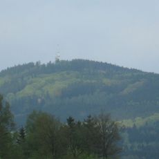
Kindelsberg
6.9 km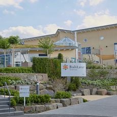
Kinder- und Jugendhospiz Balthasar in Olpe
7.8 km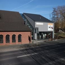
Technikmuseum Freudenberg
7.1 km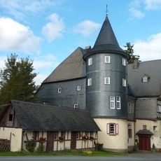
Castle Junkernhees
3.4 km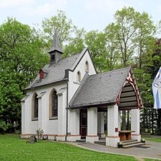
Kapelle Dörnschlade mit Klause
1.8 km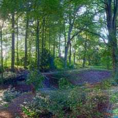
Dreslers Park
5.4 km
Bärenwaldeiche bei Niederholzklau
5.2 km
Kreuztaler Hütte
5.8 km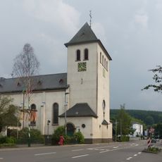
St. Antonius Einsiedler
5.4 km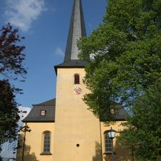
St. Severin (Wenden)
2.9 km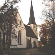
Laurentiuskirche
6.6 km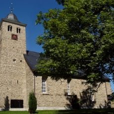
Evangelische Kirche Krombach
4.4 km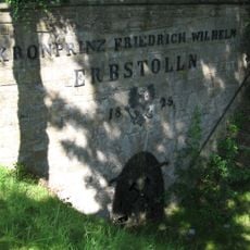
Kronprinz-Friedrich-Wilhelm-Erbstollen
5.8 km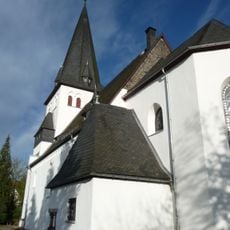
Evangelische Kirche (Oberholzklau)
4.4 km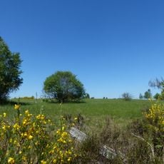
Heiden und Magerrasen bei Trupbach
7.6 km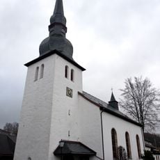
Saint George Church
6.6 km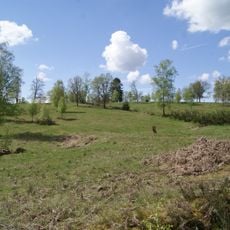
Kirrberg
7.4 km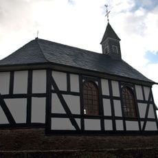
St. Josef
5.9 km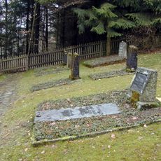
Jüdischer Friedhof
7.6 km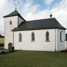
St. Marien
6.6 km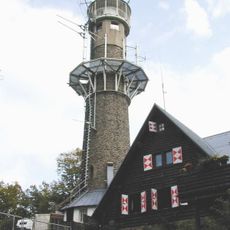
Kindelsbergturm
6.9 km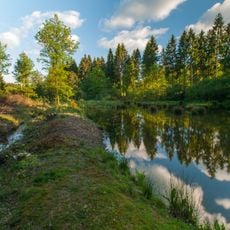
Biggequellgebiet
7.6 km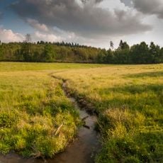
Biggequellgebiet
7.6 km
Großmicketal
4.1 km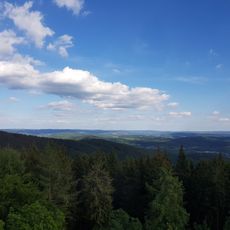
LSG-Kreuztal
5.7 km
Kulturbahnhof Kreuztal
5.5 km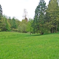
Gambach Valley
6.6 km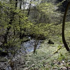
Wending and Peimbach Valley
5.5 kmReviews
Visited this place? Tap the stars to rate it and share your experience / photos with the community! Try now! You can cancel it anytime.
Discover hidden gems everywhere you go!
From secret cafés to breathtaking viewpoints, skip the crowded tourist spots and find places that match your style. Our app makes it easy with voice search, smart filtering, route optimization, and insider tips from travelers worldwide. Download now for the complete mobile experience.

A unique approach to discovering new places❞
— Le Figaro
All the places worth exploring❞
— France Info
A tailor-made excursion in just a few clicks❞
— 20 Minutes