
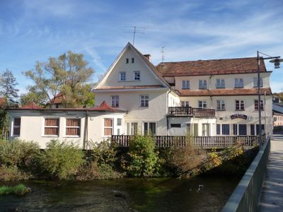
Hotel, zweigeschossiger Sattel- bzw. Fusswalmdachbau über winkelförmigem Grundriss, mit Terrassenanbau im Gebäudezwickel, Anfang 20. Jahrhundert; am Zusammenfluss des Großen und Kleinen Regen
Location: Zwiesel
Address: Angerstraße 6
GPS coordinates: 49.01298,13.22797
Latest update: April 9, 2025 13:34
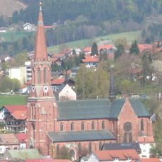
Sankt Nikolaus in Zwiesel
485 m
Bauernhausmuseum Lindberg
3.1 km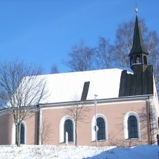
Mariä Namen
591 m
Stockau-Wiesen
3.5 km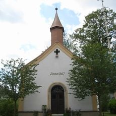
Ortskapelle
2.2 km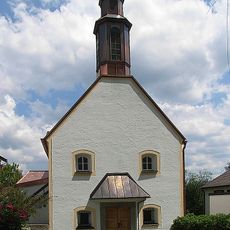
St. Georg
3.5 km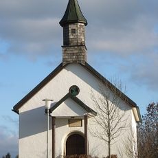
Ortskapelle
1.7 km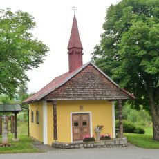
Dorfkapelle
3.3 km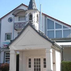
Wegkapelle
236 m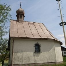
Ortskapelle
2.4 km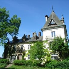
Villa von Poschinger
1.9 km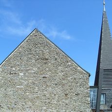
Filialkirche
3.5 km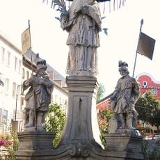
St.-Johannes-Nepomuk-Denkmal
225 m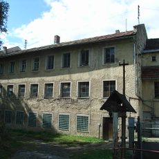
Absprengerei und Schleiferei der ehemaligen Glashütte Theresienthal
2 km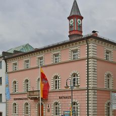
Rathaus Zwiesel
254 m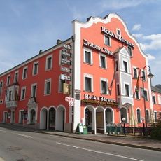
Gasthof Deutscher Rhein
381 m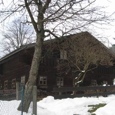
Bauernhausmuseum Lindberg
3.1 km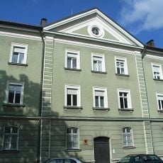
Zollamt
444 m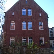
Kindergarten
519 m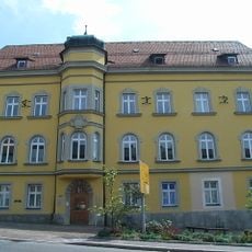
Ehemaliges Landgerichtsgebäude und Rentamt
189 m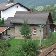
Ehemaliges Bahnwärterhaus,
2.1 km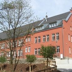
Ehemalige Mädchenschule
538 m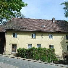
Wohnhaus
554 m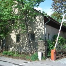
Bauernhof
407 m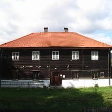
Wohnhaus
2.3 km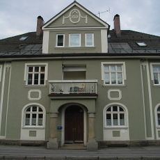
Wohnhaus
417 m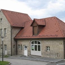
Ehemaliges Nebengebäude des Forstamts, heute Teil des Finanzamts
166 m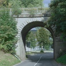
Wegdurchstich
545 mVisited this place? Tap the stars to rate it and share your experience / photos with the community! Try now! You can cancel it anytime.
Discover hidden gems everywhere you go!
From secret cafés to breathtaking viewpoints, skip the crowded tourist spots and find places that match your style. Our app makes it easy with voice search, smart filtering, route optimization, and insider tips from travelers worldwide. Download now for the complete mobile experience.

A unique approach to discovering new places❞
— Le Figaro
All the places worth exploring❞
— France Info
A tailor-made excursion in just a few clicks❞
— 20 Minutes