
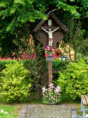
Wegkreuz unter Linde, hölzernes Kreuz und Corpus, letztes Viertel 19. Jahrhundert
Location: Germering
Address: Dorfstraße, Abzweigung Hoflacher Straße
GPS coordinates: 48.13470,11.35270
Latest update: March 7, 2025 01:49
Gut Freiham
3.8 km
Burgstall Parsberg
1.1 km
Parsberg
1.9 km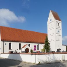
St. Jakob
736 m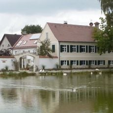
Holzkirchen, ehemaliges Hofmarkschloss
3.4 km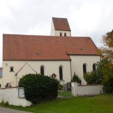
St. Peter und Paul
3.3 km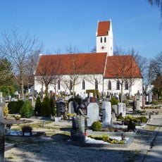
St. Martin
991 m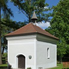
Hofkapelle
2.3 km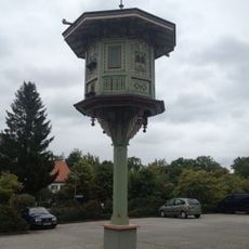
Taubenkobel (Puchheim)
1.4 km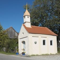
Kapelle St. Maria (Nebel)
2.6 km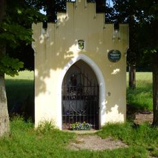
Wegkapelle
3.3 km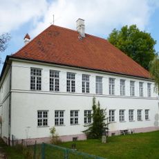
Ehemalige Schule
860 m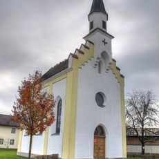
Mariä Heimsuchung
3.6 km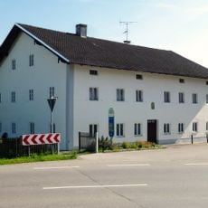
Alling, Griesstraße 1
4 km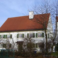
Pfarrhof (Puchheim-Ort)
1.4 km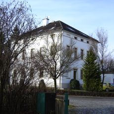
Schulhaus Puchheim
1.4 km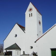
Mariä Himmelfahrt
1.5 km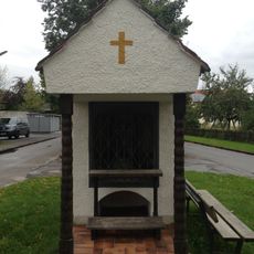
Wegkapelle (Puchheim)
2.1 km
Aubinger Lohe und Moosschwaige mit Erweiterung
4 km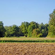
Triftwiesen Germering
2.4 km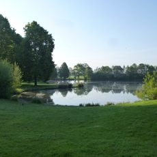
Parsberg
3.1 km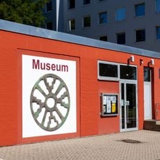
ZEIT+RAUM Museum
736 m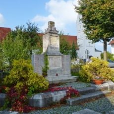
Kriegerdenkmal
791 m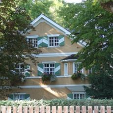
Allinger Straße 20
4 km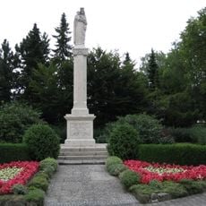
Mariensäule
906 m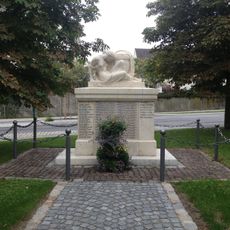
Kriegerdenkmal
1.4 km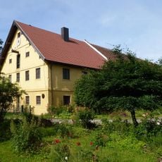
Ehem. Gutshaus
3.3 km
Cultural heritage D-1-7834-0044 in München
4.2 kmReviews
Visited this place? Tap the stars to rate it and share your experience / photos with the community! Try now! You can cancel it anytime.
Discover hidden gems everywhere you go!
From secret cafés to breathtaking viewpoints, skip the crowded tourist spots and find places that match your style. Our app makes it easy with voice search, smart filtering, route optimization, and insider tips from travelers worldwide. Download now for the complete mobile experience.

A unique approach to discovering new places❞
— Le Figaro
All the places worth exploring❞
— France Info
A tailor-made excursion in just a few clicks❞
— 20 Minutes