
Ehem. Hofwirtschaft, zweigeschossiger und giebelständiger Satteldachbau, 1712. Heute Montessori-Schule
Location: Sünching
Address: Krankenhausstraße 2
GPS coordinates: 48.87883,12.35334
Latest update: March 2, 2025 22:19

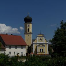
Maria Immaculata
2.3 km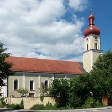
St. Johannes
4.2 km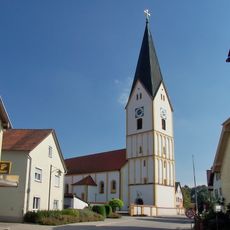
Saint John the Baptist Church
149 m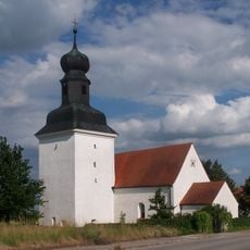
St. Stephanus
2.9 km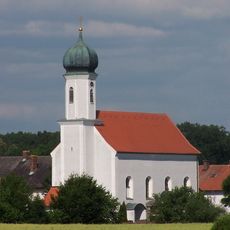
St. Margareta (Unterhaimbuch)
4.4 km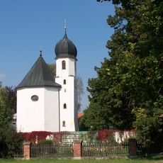
Kath. Nebenkirche St. Ägidius
1.7 km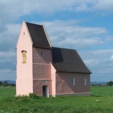
St. Sixtus (Hartham)
2.5 km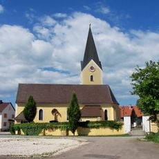
St. Markus (Dengling)
3.7 km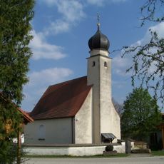
Katholische Nebenkirche St. Margareta
3.4 km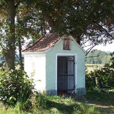
Wegkapelle
2.1 km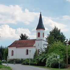
Katholische Filialkirche St. Martin
3.2 km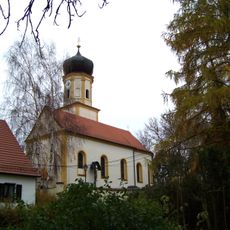
Katholische Filialkirche St. Leonhard
4 km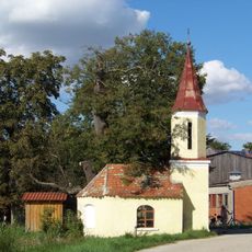
Dorfkapelle
3.7 km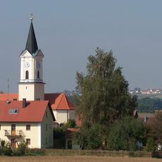
Katholische Filialkirche Mariä Himmelfahrt
4.6 km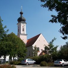
Kath. Nebenkirche St. Mauritius
733 m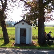
Wegkapelle
1.7 km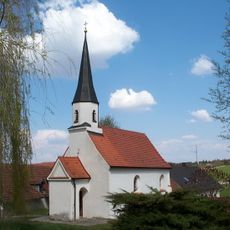
St. Ulrich (Großaich)
4.8 km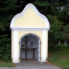
Dorfkapelle Christus an der Geißelsäule
4.1 km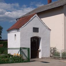
Wegkapelle St. Maria
4.1 km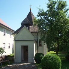
Kapelle St. Anna
3.8 km
Schutz von Landschaftsteilen im Ortsteil Illbach, Gemeinde Wallkofen des Landkreises Mallersdorf (LSG Auwald südöstlich Illbach)
3.9 km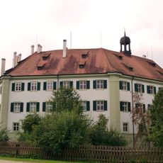
Schloss Sünching
140 m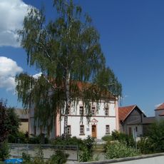
Ehemaliges Benefiziatenhaus
2.3 km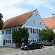
Wohnhaus
29 m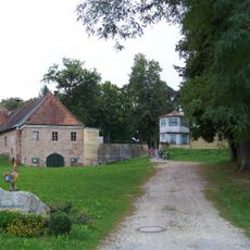
Sünching Sommerkeller Am Hardt
1.1 km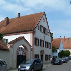
Amtshaus, sog. Rentenverwaltung
61 m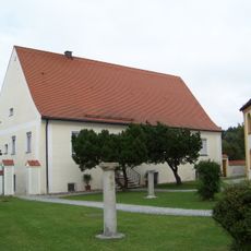
Pfarrhaus
176 m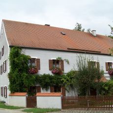
Ehem. Gasthaus
1.8 kmReviews
Visited this place? Tap the stars to rate it and share your experience / photos with the community! Try now! You can cancel it anytime.
Discover hidden gems everywhere you go!
From secret cafés to breathtaking viewpoints, skip the crowded tourist spots and find places that match your style. Our app makes it easy with voice search, smart filtering, route optimization, and insider tips from travelers worldwide. Download now for the complete mobile experience.

A unique approach to discovering new places❞
— Le Figaro
All the places worth exploring❞
— France Info
A tailor-made excursion in just a few clicks❞
— 20 Minutes