
Gaststätte, aus zwei Häusern zusammengesetzt, zweigeschossiger Bau mit horizontal abschließender Fassade und leicht versetzter Front, im Kern 17. Jahrhundert, östlicher Teil 1852/53 aufgestockt, westlicher Teil ehemaliger Stadel, Umbauten von 1861/62 und 1950
Location: Passau
Address: Oberer Sand 1
GPS coordinates: 48.57298,13.46262
Latest update: March 3, 2025 02:42

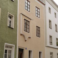
Wohnhaus
47 m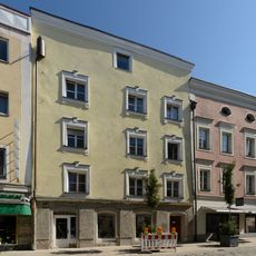
Theresienstraße 23
108 m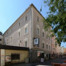
Grabengasse 34
106 m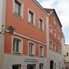
Wohnhaus
29 m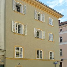
Wohnhaus
30 m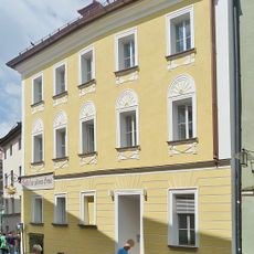
Gasthof Zur goldenen Sonne
38 m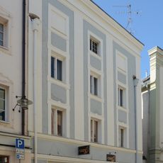
Theresienstraße 24
101 m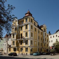
Unterer Sand 1
103 m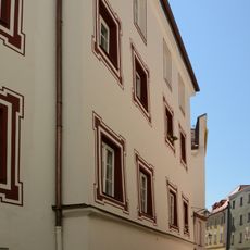
Unterer Sand 3
91 m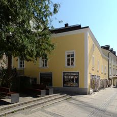
Grabengasse 25a
101 m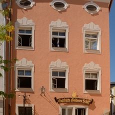
Unterer Sand 8 (Passau)
77 m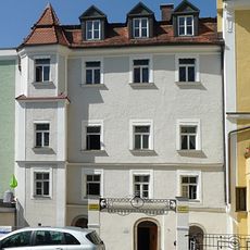
Wohn- und Geschäftshaus
83 m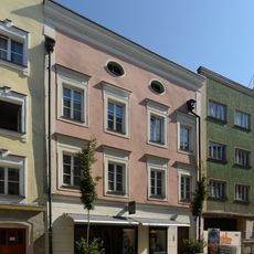
Theresienstraße 25
99 m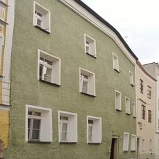
Wohnhaus
40 m
Theresienstraße 26
90 m
Wohnhaus
65 m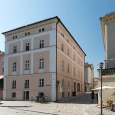
Wohnhaus
18 m
Theresienstraße 32
60 m
Theresienstraße 34
49 m
Wohnhaus
32 m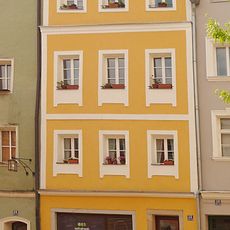
Wohn- und Geschäftshaus
66 m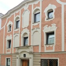
Wohnhaus
41 m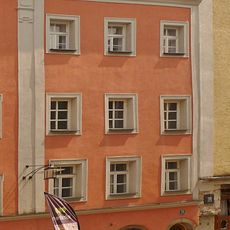
Unterer Sand 11
49 m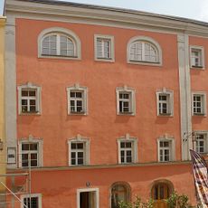
Unterer Sand 9
60 m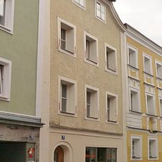
Wohnhaus
20 m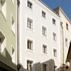
Unterer Sand 4
101 m
Grabengasse 27
98 m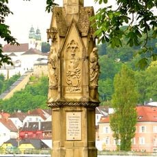
Denkmal
115 mReviews
Visited this place? Tap the stars to rate it and share your experience / photos with the community! Try now! You can cancel it anytime.
Discover hidden gems everywhere you go!
From secret cafés to breathtaking viewpoints, skip the crowded tourist spots and find places that match your style. Our app makes it easy with voice search, smart filtering, route optimization, and insider tips from travelers worldwide. Download now for the complete mobile experience.

A unique approach to discovering new places❞
— Le Figaro
All the places worth exploring❞
— France Info
A tailor-made excursion in just a few clicks❞
— 20 Minutes