
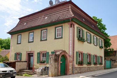
Wohnhaus, cultural heritage monument D-6-79-165-1 (0) in Altertheim, Bavaria
Location: Altertheim
Address: Hauptstraße 39; Hauptstraße 41
GPS coordinates: 49.72695,9.76170
Latest update: March 3, 2025 00:49
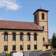
Pfarrkirche
193 m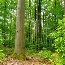
Naturwald Irtenberger Wald
3.4 km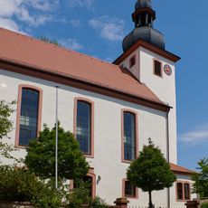
St. Martin (Unteraltertheim)
1.9 km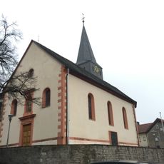
St. Johannes der Täufer
2.8 km
Maria Königin des Friedens
3.3 km
Altertheimer Weg
2.2 km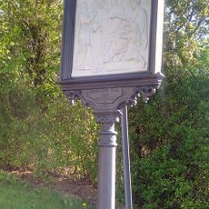
Kreuzweg
3.2 km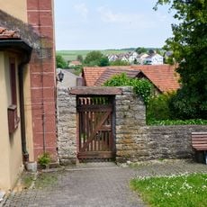
Friedhof
226 m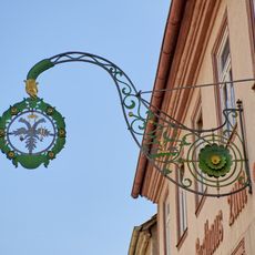
Wirtshausschild
2 km
Kriegerdenkmal
2.8 km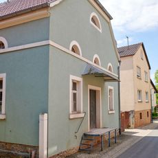
Synagoge
2.1 km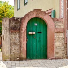
Hoftor Hauptstraße 37 a in Altertheim
9 m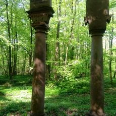
Zwei Hoheitssäulen
3.2 km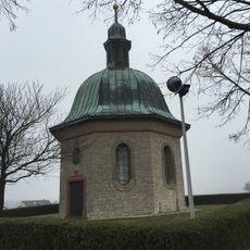
Kriegerdenkmal
3.3 km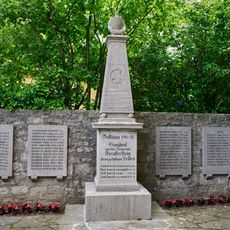
Kriegerdenkmal Nähe Kirchgasse in Altertheim
209 m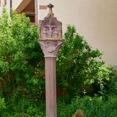
Bildstock
1.8 km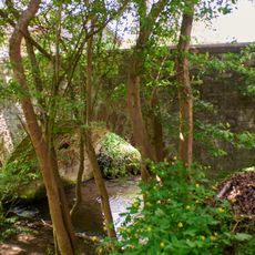
Brücke
3.3 km
Wirtshausschild
252 m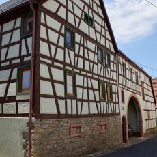
Gasthaus
3.3 km
Bauernhaus
3.3 km
Pfarrhaus
219 m
Schulhaus
1.9 km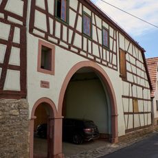
Nebengebäude
3.4 km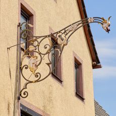
Wirtshausschild
2.1 km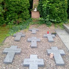
Kriegerdenkmal
2.6 km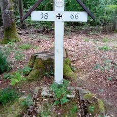
Soldatengräber
2.7 km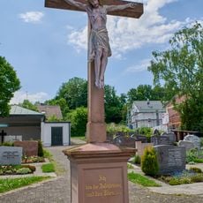
Friedhofskreuz Nähe Kirchgasse in Altertheim
221 m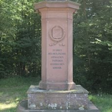
Denkmal
3.6 kmReviews
Visited this place? Tap the stars to rate it and share your experience / photos with the community! Try now! You can cancel it anytime.
Discover hidden gems everywhere you go!
From secret cafés to breathtaking viewpoints, skip the crowded tourist spots and find places that match your style. Our app makes it easy with voice search, smart filtering, route optimization, and insider tips from travelers worldwide. Download now for the complete mobile experience.

A unique approach to discovering new places❞
— Le Figaro
All the places worth exploring❞
— France Info
A tailor-made excursion in just a few clicks❞
— 20 Minutes