
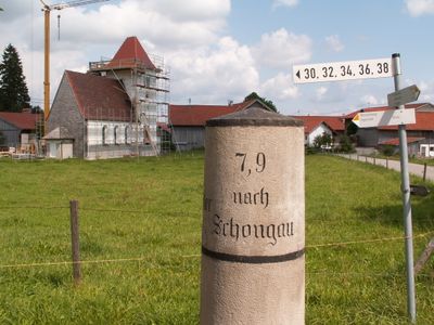
Bayrische Kilometersäule
Bayrische Kilometersäule, Kilometerstein nach Schongau und Oberdorf, runder Kalksandstein, 19. Jahrhundert
Location: Ingenried
Address: An der Nordseite von Haus Erbenschwang 54
GPS coordinates: 47.80608,10.80000
Latest update: March 9, 2025 00:24
St. Anna (Burggen)
3.4 km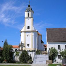
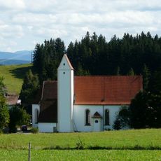
St. Georg (Ingenried)
1.6 km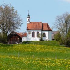
Josefskapelle (Tannenberg)
2.9 km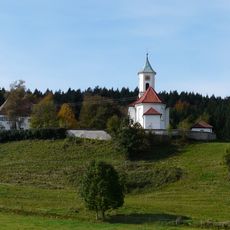
St. Oswald
2.8 km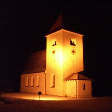
St. Jakobus der Ältere
65 m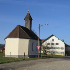
Kapelle Heilig Kreuz
1.5 km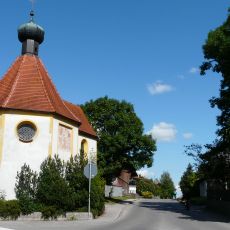
St. Eligius
3.3 km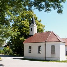
Kapelle Heilige Familie
3.3 km
Rosenkranzkapelle
3.2 km
Feldkapelle
3.4 km
Schutz des Burgberges, Gemeinde Burggen
2.7 km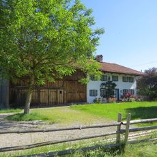
Bauernhaus
104 m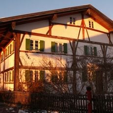
Welfenstraße 5
1.6 km
Ehemalige Sölde, sog. beim Hafner
3.3 km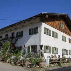
Wohnteil des ehemaligen Einfirsthofs, sog. beim Glaser
3.3 km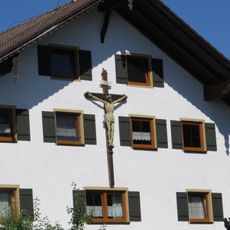
Kruzifix
32 m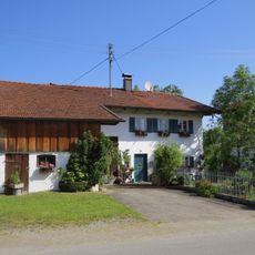
Ensemble St.-Anna-Straße
3.3 km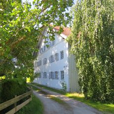
Bauernhaus
1.4 km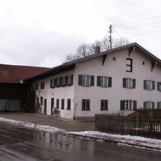
Bauernhof, sog. beim Sündhofer
3.3 km
Ehemals Bauernhof
3.4 km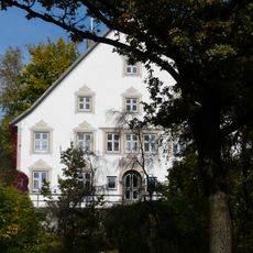
Ehemals Pfarrhof
3.4 km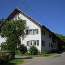
Hauskreuz des sogenannten Schulhans-Hofes
3.4 km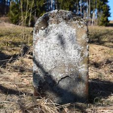
Grenzstein Engenschwang
2.4 km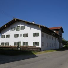
Ehemals Bauernhof, sog. beim Stotz
3.4 km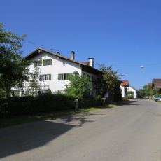
Ehemals Einfirsthof, sog. beim Broll
3.3 km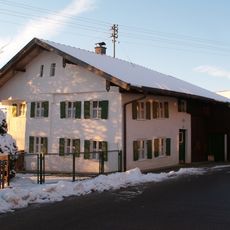
Bauernhaus
1.5 km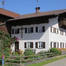
Hauskreuz
3.3 km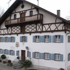
Ehemalige Mühle
3.5 kmVisited this place? Tap the stars to rate it and share your experience / photos with the community! Try now! You can cancel it anytime.
Discover hidden gems everywhere you go!
From secret cafés to breathtaking viewpoints, skip the crowded tourist spots and find places that match your style. Our app makes it easy with voice search, smart filtering, route optimization, and insider tips from travelers worldwide. Download now for the complete mobile experience.

A unique approach to discovering new places❞
— Le Figaro
All the places worth exploring❞
— France Info
A tailor-made excursion in just a few clicks❞
— 20 Minutes