
Bildstock, verputzter Pfeiler mit Nische, um 1750, nach teilweiser Zerstörung 1980 wiederhergestellt
Location: Antdorf
Address: Penzberger Straße; Unterm Kreuz, an der Straße nach Penzberg
GPS coordinates: 47.74824,11.31743
Latest update: March 7, 2025 04:24

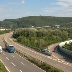
Bundesautobahn 98
1.3 km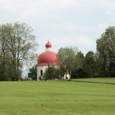
Heuwinklkapelle
2.7 km
St. Vitus
2.6 km
St. Ulrich (Habach)
3.7 km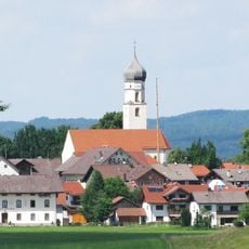
St. Peter und Paul
840 m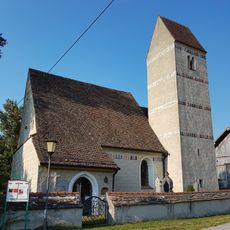
Mariä Himmelfahrt
1 km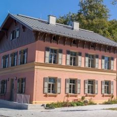
Deichstetterhaus
3.1 km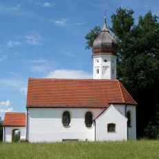
Maria Heimsuchung
2.8 km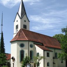
St. Georg Sindelsdorf
2.9 km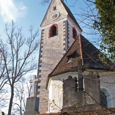
St. Martin
1.9 km
Burgstall Fußstain
3.3 km
Burgstall Sindelsdorf
3.1 km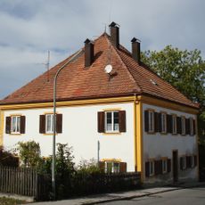
Pfarrhaus Sindelsdorf
3.1 km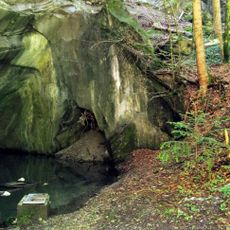
Steinbruch am Grenzbach
2.9 km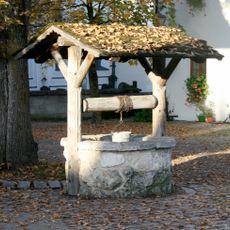
Brunnenschacht
2.5 km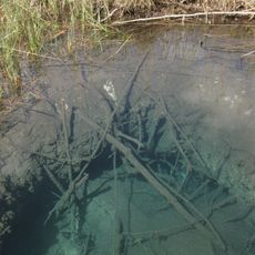
Quelltopf Blaue Gumpe
3.4 km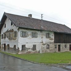
Ehemaliger Bauernhof, sogenannt Beim Huppenberger
770 m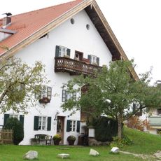
Ehemaliger Einfirsthof, sogenannt Beim Pöck
892 m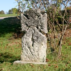
Sühnekreuz
2.7 km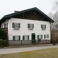
Glaser
2.6 km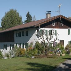
Wagnerschuster
2.6 km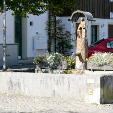
Viehtränke
2.6 km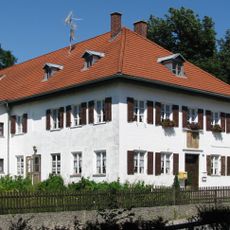
Wirt
1.8 km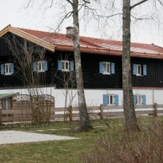
Stopslschneider
2.6 km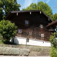
Ehemaliges Kleinbauernhaus, sogenannte Pfaderer-Sölde
833 m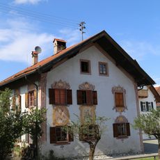
Ehem. Stiftshaus
3.6 km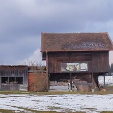
Ehemaliger Getreidekasten
3.7 km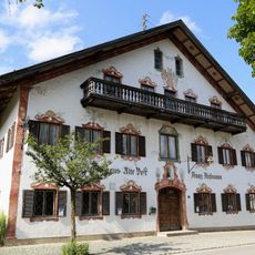
Alte Post
3.6 kmVisited this place? Tap the stars to rate it and share your experience / photos with the community! Try now! You can cancel it anytime.
Discover hidden gems everywhere you go!
From secret cafés to breathtaking viewpoints, skip the crowded tourist spots and find places that match your style. Our app makes it easy with voice search, smart filtering, route optimization, and insider tips from travelers worldwide. Download now for the complete mobile experience.

A unique approach to discovering new places❞
— Le Figaro
All the places worth exploring❞
— France Info
A tailor-made excursion in just a few clicks❞
— 20 Minutes