Bauernhaus, building in Ruhpolding, Upper Bavaria, Germany
Location: Ruhpolding
Address: Brand 4
GPS coordinates: 47.73788,12.60556
Latest update: November 8, 2025 22:01
Freizeitpark Ruhpolding
894 m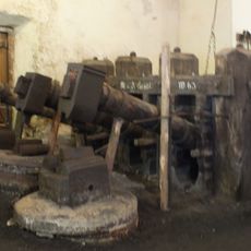
Glockenschmiede Ruhpolding
942 m
Gasthaus
330 m
Bauernhaus
327 m
Steinkreuz
1.5 km
Durlach Kopf
1.7 km
Glockenschmiede
937 m
Bauernhaus
289 m
Sogenannte Brander-Kapelle
287 m
Wohnhaus
955 m
Bauernhaus Brand 17 in Ruhpolding
622 m
Sägewerk
818 m
Bauernhaus
898 m
Bauernhaus
924 m
Bauernhaus
1.1 km
Bauernhaus
596 m
Bauernhaus
121 m
Alm
1.2 km
Forstwerkstatt
178 m
Scheune Brand 17 in Ruhpolding
614 m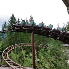
Gipfelstürmer Berg Achterbahn
900 m
Glockenschmiede Hammerschmiede-Museum
974 m
Work of art, sculpture
342 m
Nesslauer Wasserfall
812 m
Memorial cross, memorial
1.3 km
Wayside cross
1.4 km
Wayside cross
1.2 km
Nesslauer Wasserfall
820 mReviews
Visited this place? Tap the stars to rate it and share your experience / photos with the community! Try now! You can cancel it anytime.
Discover hidden gems everywhere you go!
From secret cafés to breathtaking viewpoints, skip the crowded tourist spots and find places that match your style. Our app makes it easy with voice search, smart filtering, route optimization, and insider tips from travelers worldwide. Download now for the complete mobile experience.

A unique approach to discovering new places❞
— Le Figaro
All the places worth exploring❞
— France Info
A tailor-made excursion in just a few clicks❞
— 20 Minutes