Wegkapelle, building in Niedertaufkirchen, Upper Bavaria, Germany
Location: Niedertaufkirchen
Address: Flur Freiling
GPS coordinates: 48.33507,12.54409
Latest update: November 8, 2025 12:13
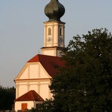
St. Martin
727 m
Kapelle
806 m
Stadel
690 m
Stockhaus
886 m
Stadel
681 m
Bildstock
1.2 km
Cultural heritage D-1-7641-0057 in Niedertaufkirchen
724 m
Bauernhaus
1.3 km
Wayside cross
765 m
Wayside shrine
981 m
Wayside cross
1.2 km
Wayside cross
479 m
Wayside shrine
408 m
Wayside cross
358 m
Wayside cross
660 m
Wayside cross
1.2 km
Wayside cross
427 m
Wayside cross
748 m
Wayside cross
922 m
Neunerkreuz (Nr. 16)
1.3 km
Neunerkreuz (Nr. 6)
730 m
Neunerkreuz (Nr. 7)
1.2 km
Neunerkreuz (Nr. 8)
1.2 km
Neunerkreuz (Nr. 15)
1 km
Neunerkreuz (Nr. 25)
1.3 km
Neunerkreuz (Nr. 29)
1.3 km
Wayside shrine
1.4 km
Wayside cross
1.3 kmReviews
Visited this place? Tap the stars to rate it and share your experience / photos with the community! Try now! You can cancel it anytime.
Discover hidden gems everywhere you go!
From secret cafés to breathtaking viewpoints, skip the crowded tourist spots and find places that match your style. Our app makes it easy with voice search, smart filtering, route optimization, and insider tips from travelers worldwide. Download now for the complete mobile experience.

A unique approach to discovering new places❞
— Le Figaro
All the places worth exploring❞
— France Info
A tailor-made excursion in just a few clicks❞
— 20 Minutes