
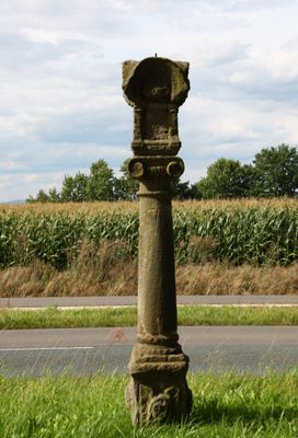
Marter, ionische Sandsteinsäule von 1714; Am Schaft mit eingemeißelter Gravur „1714 HANS HEROLD (?) MA:“, darüber Aufsatz mit rundbogigen Abschlussgesimsen und Engelsköpfen in den Lünette (Bildende Kunst). Ehemals waren im oberen Teil der Marter vie
Location: Altenkunstadt
Address: An der Straße nach Prügel, ca. 200 m vor dem Ort, Parkplatz
GPS coordinates: 50.10648,11.26268
Latest update: March 3, 2025 05:20
Kirche
2.2 km
Rathaus
2.2 km
Ausstattung
1.2 km
Ausstattung
1.9 km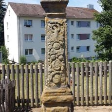
Bildstock
2.1 km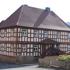
Wohnhaus
2 km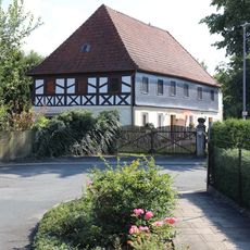
Cultural heritage D-4-78-111-28 in Altenkunstadt
599 m
Wohnhaus
2.2 km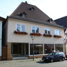
Wohnhaus
2.2 km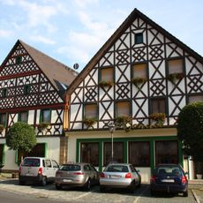
Wohnhaus
2.2 km
Cultural heritage D-4-78-111-8 in Altenkunstadt
2.3 km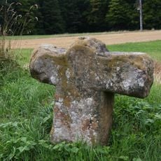
Gedenkkreuz
2.3 km
Wohnhaus
2.3 km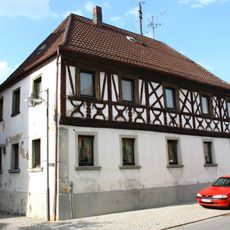
Gasthaus zur Sternschnuppe
2.3 km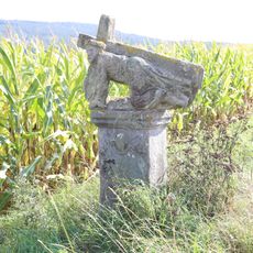
Heiligenfigur
839 m
Wohnstallhaus
661 m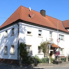
Wohnhaus
523 m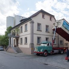
Cultural heritage D-4-78-111-11 in Altenkunstadt
2.3 km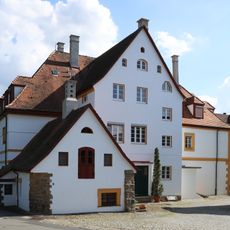
Gutsanlage Altenkunststadt
1.2 km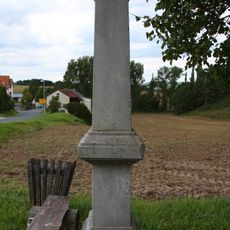
Bildstock
1.2 km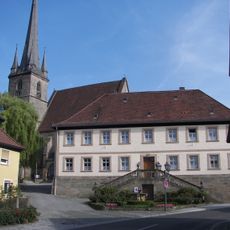
Pfarrhof
2.2 km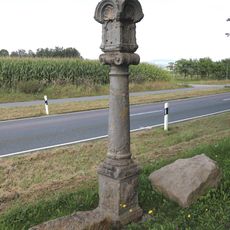
Bildstock
61 m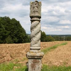
Bildstock
1.3 km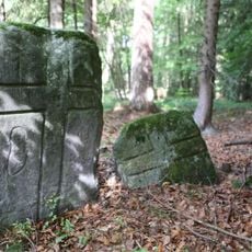
Kreuzstein
2.2 km
Wohnhaus
2.3 km
Wohnhaus
2.3 km
Bildstock D-4-78-176-77
2.2 km
Wohnhaus
502 mReviews
Visited this place? Tap the stars to rate it and share your experience / photos with the community! Try now! You can cancel it anytime.
Discover hidden gems everywhere you go!
From secret cafés to breathtaking viewpoints, skip the crowded tourist spots and find places that match your style. Our app makes it easy with voice search, smart filtering, route optimization, and insider tips from travelers worldwide. Download now for the complete mobile experience.

A unique approach to discovering new places❞
— Le Figaro
All the places worth exploring❞
— France Info
A tailor-made excursion in just a few clicks❞
— 20 Minutes