
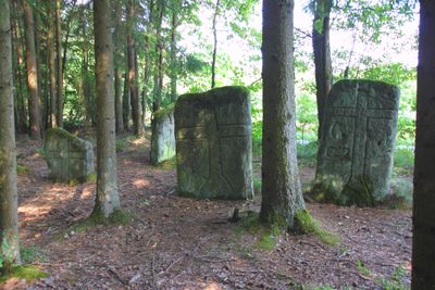
Vier Kreuzsteine, einer spätgotisch, Mitte 15. Jahrhundert, die anderen 17. Jahrhundert (einer bezeichnet „1655“); ''nicht nachqualifiziert, im Bayerischen Denkmal-Atlas nicht kartiert''
Location: Mainleus
Address: Am Waldrand circa 1 km südwestlich von Motschenbach an einem Fuhrweg nach Dörfles
GPS coordinates: 50.08348,11.33167
Latest update: March 4, 2025 12:06

Chorturmkirche
1 km
Saalkirche
1.1 km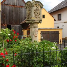
Bildstock
1.1 km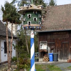
Taubenhaus
737 m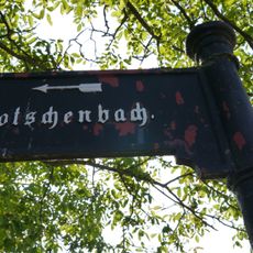
Wegweiser
1.2 km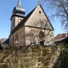
Friedhof
1 km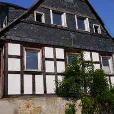
Austragshaus
1.2 km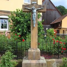
Kreuz
1.1 km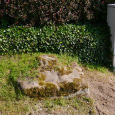
Sockelfragment einer Marter
815 m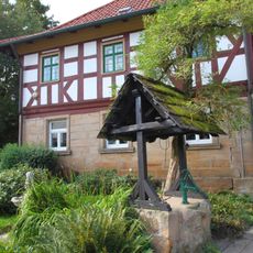
Farm in Motschenbach
1 km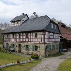
Mühle
556 m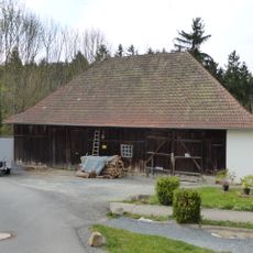
Cultural heritage D-4-77-136-15 in Mainleus
741 m
Clergy house in Motschenbach
1 km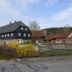
Cultural heritage D-4-77-136-94 in Mainleus
679 m
Pfarrhaus
1.1 km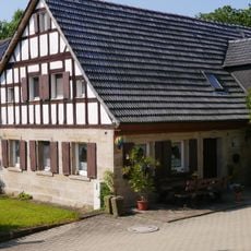
Wohnstallhaus
1.3 km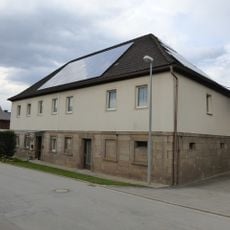
Byre-dwelling in Motschenbach
1.1 km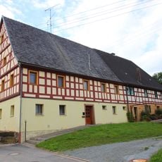
Byre-dwelling in Motschenbach
998 m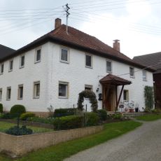
Byre-dwelling in Motschenbach
1 km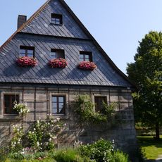
Cultural heritage D-4-77-136-26 in Mainleus
1.3 km
Gutshof
1.2 km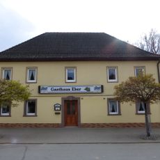
Gasthaus
1.1 km
Cultural heritage D-4-77-136-12 in Mainleus
1.2 km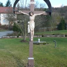
Holzkruzifix
1.3 km
Bildstock
1.1 km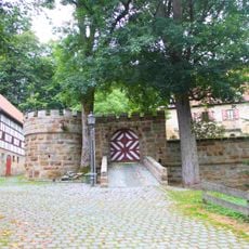
Schloss
912 m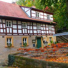
Gasthaus
858 m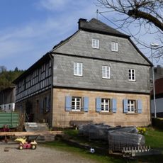
Cultural heritage D-4-77-136-96 in Mainleus
826 mReviews
Visited this place? Tap the stars to rate it and share your experience / photos with the community! Try now! You can cancel it anytime.
Discover hidden gems everywhere you go!
From secret cafés to breathtaking viewpoints, skip the crowded tourist spots and find places that match your style. Our app makes it easy with voice search, smart filtering, route optimization, and insider tips from travelers worldwide. Download now for the complete mobile experience.

A unique approach to discovering new places❞
— Le Figaro
All the places worth exploring❞
— France Info
A tailor-made excursion in just a few clicks❞
— 20 Minutes