
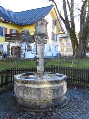
Marienbrunnen, Steinguss, um 1910
Location: Weiler-Simmerberg
Address: Kellhofplatz
GPS coordinates: 47.58260,9.91511
Latest update: March 2, 2025 23:53
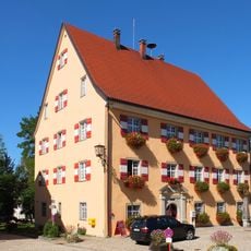
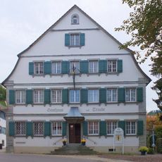
Rathaus Weiler-Simmerberg
108 m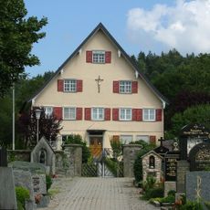
Rectory
241 m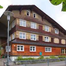
Rectory
226 m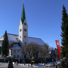
Pfarrkirche St. Blasius
149 m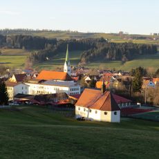
Katholische Kapelle St. Sebastian
462 m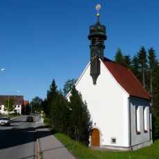
Katholische Leprosenkapelle St. Wendelin
852 m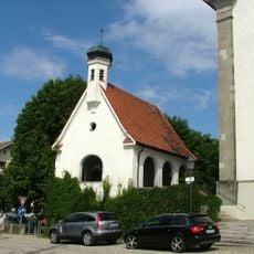
Kriegergedächtnis-Kapelle
124 m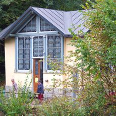
Lourdeskapelle
315 m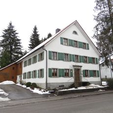
Ehemaliges Bauernhaus
361 m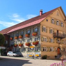
Ehemaliges Gasthaus
137 m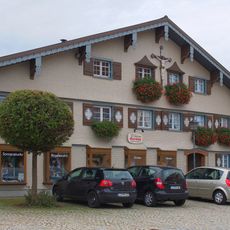
Sogenanntes Ferbersches Haus
147 m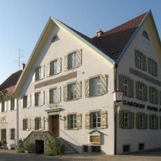
Ehemalige Posthalterei und Brauereigasthof zur Post
144 m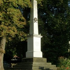
Kriegerdenkmal
171 m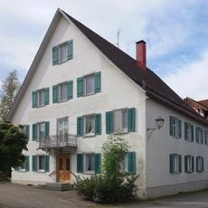
Sogenannter Neuer Kellhof
81 m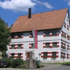
Ehemaliges Gasthaus
176 m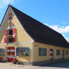
Kornhaus
90 m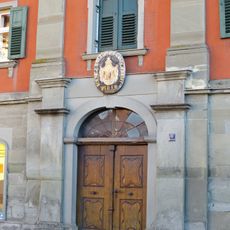
Ehemalige Kattunfabrik
239 m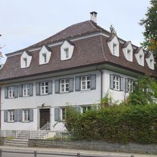
Ehemalige Apotheke
198 m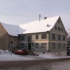
Ehemaliges Bauernhaus
324 m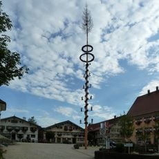
Gasthaus zur Traube
196 m
Ehemaliges Bahnhofsgebäude
246 m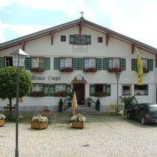
Ehemaliges Amtshaus
152 m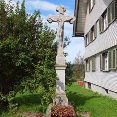
Sandsteinkruzifix
690 m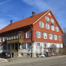
Ehemaliges Bauernhaus und Tabakfabrik
498 m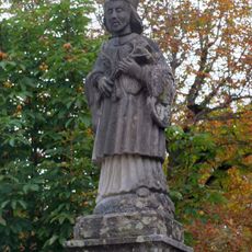
Brückenfigur hl. Johannes von Nepomuk
110 m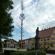
Kirchplatz (Weiler im Allgäu)
134 m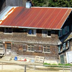
Wohnteil eines Bauernhauses
1.6 kmReviews
Visited this place? Tap the stars to rate it and share your experience / photos with the community! Try now! You can cancel it anytime.
Discover hidden gems everywhere you go!
From secret cafés to breathtaking viewpoints, skip the crowded tourist spots and find places that match your style. Our app makes it easy with voice search, smart filtering, route optimization, and insider tips from travelers worldwide. Download now for the complete mobile experience.

A unique approach to discovering new places❞
— Le Figaro
All the places worth exploring❞
— France Info
A tailor-made excursion in just a few clicks❞
— 20 Minutes