
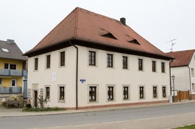
Rathaus, cultural heritage monument D-6-74-219-18 (0) in Wonfurt, Bavaria
Location: Wonfurt
Address: Dorfstraße 26
GPS coordinates: 49.99021,10.42726
Latest update: March 4, 2025 15:38
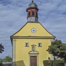
Pfarrkirche
2.3 km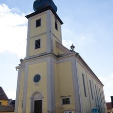
Pfarrkirche
2.2 km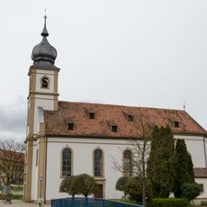
St. Andreas
55 m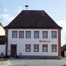
Rathaus
2.3 km
Kirche
3 km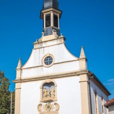
Saalkirche
1.8 km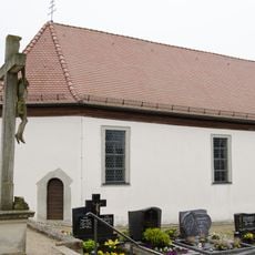
Kapelle
168 m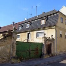
Wohnhaus
2.9 km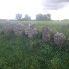
Gedenksteine
3.1 km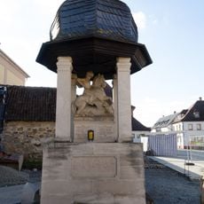
Kriegerdenkmal
2.2 km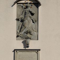
Hausrelief
2.2 km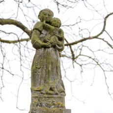
Bildstock
75 m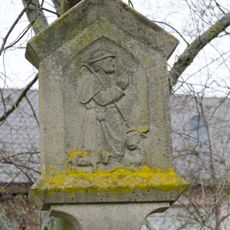
Bildstock
74 m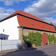
Scheune
2.9 km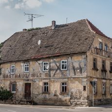
Gasthaus
2.3 km
Friedhofskreuz
3 km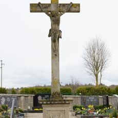
Friedhofskreuz
179 m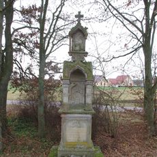
Tabernakelbildstock
2.9 km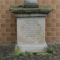
Bildstocksockel
90 m
Mariensäule
19 m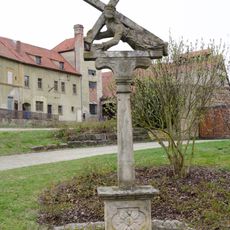
Kreuzschlepper
87 m
Dorflinde
2.9 km
Wegkreuz
3 km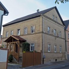
Wohnhaus
3.1 km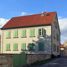
Pfarrhaus
2.9 km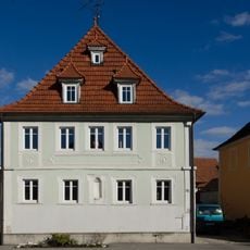
Wohnhaus
2.2 km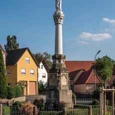
Mariensäule
2.4 km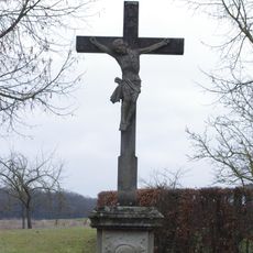
Wegkreuz
3.1 kmReviews
Visited this place? Tap the stars to rate it and share your experience / photos with the community! Try now! You can cancel it anytime.
Discover hidden gems everywhere you go!
From secret cafés to breathtaking viewpoints, skip the crowded tourist spots and find places that match your style. Our app makes it easy with voice search, smart filtering, route optimization, and insider tips from travelers worldwide. Download now for the complete mobile experience.

A unique approach to discovering new places❞
— Le Figaro
All the places worth exploring❞
— France Info
A tailor-made excursion in just a few clicks❞
— 20 Minutes