
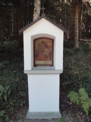
Kreuzweg Horgauergreut, 4. Viertel 19. Jahrhundert
Location: Horgau
Address: nördlich des Ortes
GPS coordinates: 48.40496,10.69456
Latest update: March 11, 2025 12:08
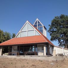
Autobahnkirche Horgau
2.5 km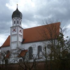
St. Johannes, Adelsried
2.8 km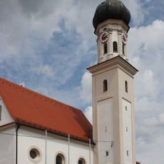
St. Laurentius (Agawang)
4.9 km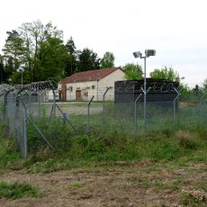
Stauffersberg
4.7 km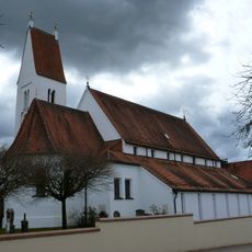
St. Stephan (Bonstetten)
3.9 km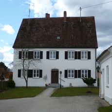
Rectory (Adelsried)
2.8 km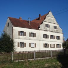
Schäfstoß
2.2 km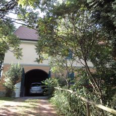
Wohnhaus
1.6 km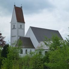
Streitheim St. Vitus
1.6 km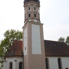
St. Maria Magdalena
306 m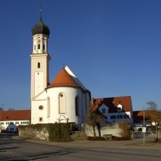
Katholische Pfarrkirche St. Laurentius
4.9 km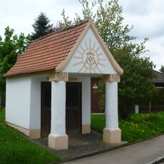
Adelsried Feldkapelle
2.8 km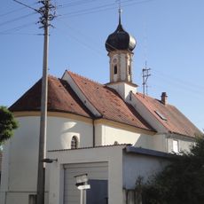
St. Nikolaus
1.8 km
Kapellenbildstock
1.1 km
Bildstockkapelle
500 m
Bonstetten Wegkapelle
4.2 km
Katholische Marienkapelle
2.2 km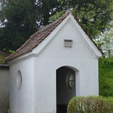
Ehgatten Ortskapelle
3.9 km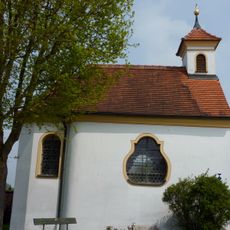
Franz-Xaver-Kapelle
3.2 km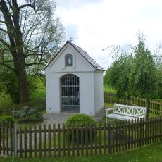
Weilerhof Kapelle
866 m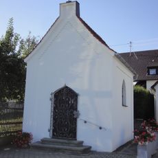
Katholische Kapelle zur Schmerzhaften Muttergottes
3.3 km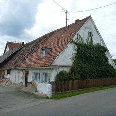
Bauernhaus
1.4 km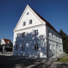
Pfarrhaus
1.4 km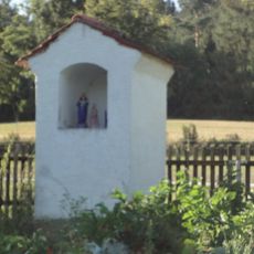
Bildstock
4.2 km
Stadel mit zwei Quertennen und Remise
384 m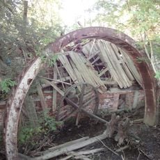
Ehemalige Sägmühle
1.4 km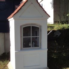
Bildstock
1 km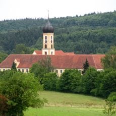
Fledermausquartiere im Landkreis Augsburg
1.2 kmVisited this place? Tap the stars to rate it and share your experience / photos with the community! Try now! You can cancel it anytime.
Discover hidden gems everywhere you go!
From secret cafés to breathtaking viewpoints, skip the crowded tourist spots and find places that match your style. Our app makes it easy with voice search, smart filtering, route optimization, and insider tips from travelers worldwide. Download now for the complete mobile experience.

A unique approach to discovering new places❞
— Le Figaro
All the places worth exploring❞
— France Info
A tailor-made excursion in just a few clicks❞
— 20 Minutes