
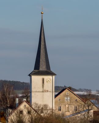
Pfarrkirche, cultural heritage monument D-6-74-187-50 (0) in Rauhenebrach, Bavaria
Location: Rauhenebrach
Address: Hauptstraße 4; Hauptstraße 4a
GPS coordinates: 49.88876,10.55048
Latest update: April 16, 2025 04:35
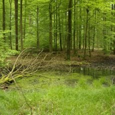
Der Hohe Buchene Wald im Ebracher Forst
5.6 km
Kuratiekirche
3.9 km
Pfarrkirche
5.7 km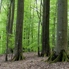
Weilersbachtal
4 km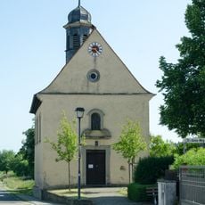
Filialkirche
1.8 km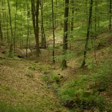
Naturwaldreservat Brunnstube
4.5 km
St. Michael
5 km
Pfarrkirche
3.7 km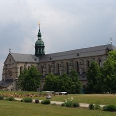
Klosterkirche
6.1 km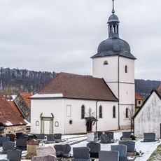
Filialkirche
1.8 km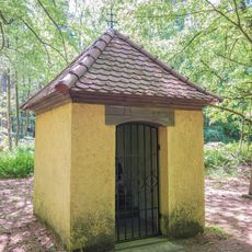
Wallfahrtskapelle
4.4 km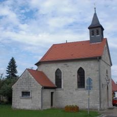
Kapelle Neudorf bei Ebrach
2.5 km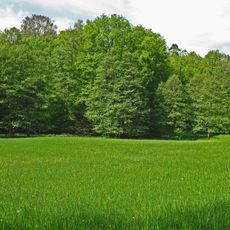
Schulterbachtal
3.1 km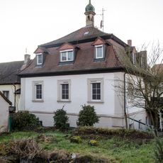
Baudenkmal
6 km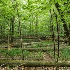
Buchenwälder und Wiesentäler des Nordsteigerwalds
1.2 km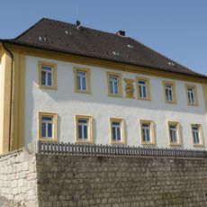
Amtshaus
5.7 km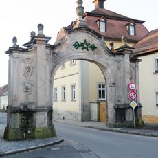
Tor
6 km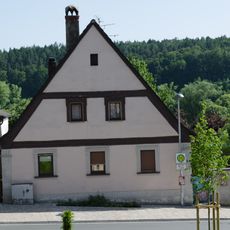
Wohnhaus
5.7 km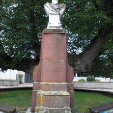
Denkmal
46 m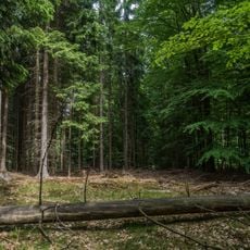
Brunnstube
4.6 km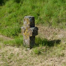
Steinkreuz
3.4 km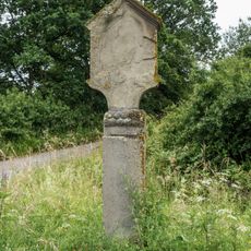
Bildstock
4.5 km
Bildstock
6.1 km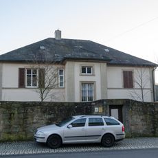
Pfarrhaus
6 km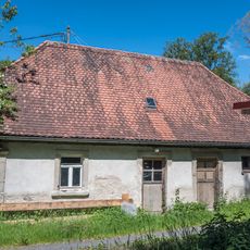
Forsthütte
3.5 km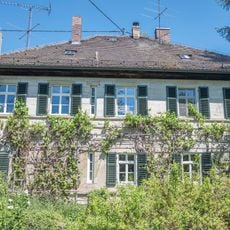
Forsthaus
3.6 km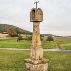
Bildstock
1.5 km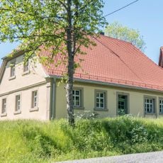
Forsthütte
3.6 kmReviews
Visited this place? Tap the stars to rate it and share your experience / photos with the community! Try now! You can cancel it anytime.
Discover hidden gems everywhere you go!
From secret cafés to breathtaking viewpoints, skip the crowded tourist spots and find places that match your style. Our app makes it easy with voice search, smart filtering, route optimization, and insider tips from travelers worldwide. Download now for the complete mobile experience.

A unique approach to discovering new places❞
— Le Figaro
All the places worth exploring❞
— France Info
A tailor-made excursion in just a few clicks❞
— 20 Minutes