
Gasthof, breitgelagerter zweigeschossiger Bau mit Mansardwalmdach, mit eingeschossiger Auslucht nach Osten, 18. Jahrhundert
Location: Langquaid
Address: Marktplatz 12
GPS coordinates: 48.82225,12.05096
Latest update: April 10, 2025 22:20

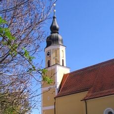
St. Jakobus
35 m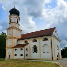
Pilgrimage Church of St Odile
3.4 km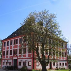
Schloss Herrngiersdorf
3.7 km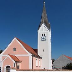
St. Martin (Herrngiersdorf)
3.9 km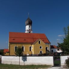
St. Petrus (Sandsbach)
2.2 km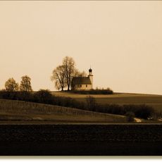
St. Koloman (Leitenhausen)
2.4 km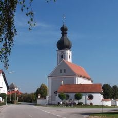
Wallfahrtskirche Mariä Himmelfahrt (Niederleierndorf)
3 km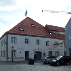
Kastnerhaus
174 m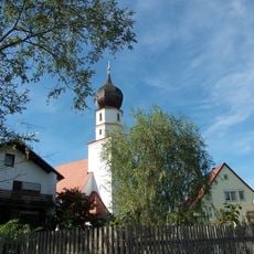
St. Agatha (Leitenhausen)
2.9 km
Kirche Mariä Himmelfahrt
3.4 km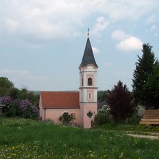
Katholische Kirche St. Johannes der Täufer
3.8 km
Ehemalige Taufkirche Johannes der Täufer
4 km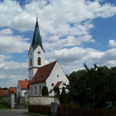
Katholische Kirche St. Stephan
1.8 km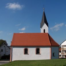
Katholische Kirche St. Wolfgang
3.3 km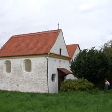
Marienkapelle
677 m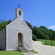
Ortskapelle
4.4 km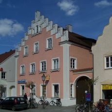
Wohnhaus
79 m
Wohnhaus
92 m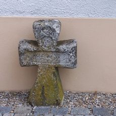
Steinkreuz bei der Wallfahrtskirche-Sankt-Ottilia
3.4 km
Niederleierndorf train station
3.2 km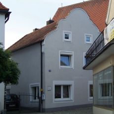
Wohnhaus
16 m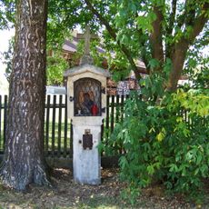
Bildstock
4.4 km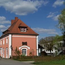
Ehemaliger Bahnhof, jetzt Wohnhaus
205 m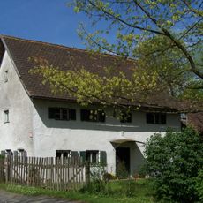
Ehemaliges Amtshaus des Schlosses Gitting
2.3 km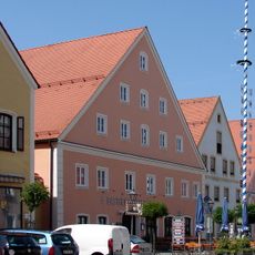
Gasthof
76 m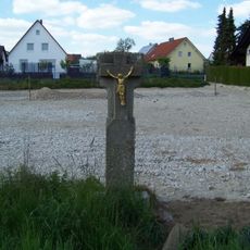
Kruzifix
543 m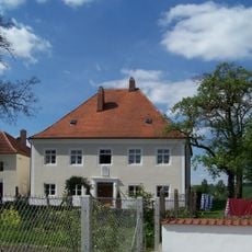
Ehemaliges Benefiziatenhaus
2.8 km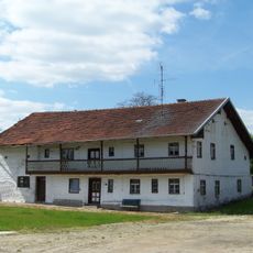
Wohnhaus eines Dreiseithofes
2.9 kmReviews
Visited this place? Tap the stars to rate it and share your experience / photos with the community! Try now! You can cancel it anytime.
Discover hidden gems everywhere you go!
From secret cafés to breathtaking viewpoints, skip the crowded tourist spots and find places that match your style. Our app makes it easy with voice search, smart filtering, route optimization, and insider tips from travelers worldwide. Download now for the complete mobile experience.

A unique approach to discovering new places❞
— Le Figaro
All the places worth exploring❞
— France Info
A tailor-made excursion in just a few clicks❞
— 20 Minutes