
Unteres Tor, Stadttor, Rechteckturm mit sopitzbogiger Durchfahrt und Zeltdach, Fallgatterläufe, Wappensteine und rechteckiger Barbakane, im Kern 13. Jahrhundert, Umbau 1396/1416
Location: Wolframs-Eschenbach
Address: Heumarkt 12
GPS coordinates: 49.22614,10.72740
Latest update: March 5, 2025 15:11


Deutschordensschloss
135 m
Liebfrauenmünster
118 m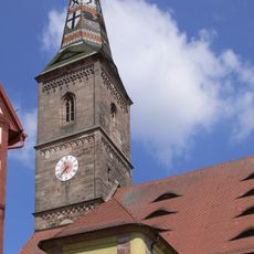
Liebfrauenmünster in Wolframs-Eschenbach
113 m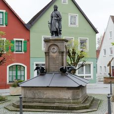
Wolfram von Eschenbach-Monument in Wolframs-Eschenbach
115 m
Ehemaliges Mädchenschulhaus der Armen Schulschwestern
94 m
Hauptstraße 10
205 m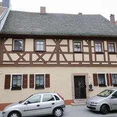
Hauptstraße 16
160 m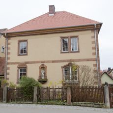
Färbergasse 17
178 m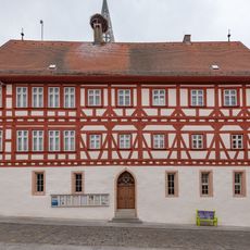
Altes Rathaus
104 m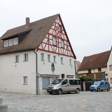
Ehemaliges Ackerbürgerhaus
40 m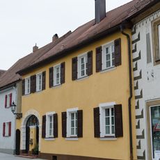
Hauptstraße 15
201 m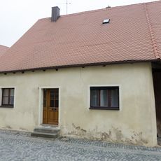
Ehemaliges Ackerbürgerhaus
169 m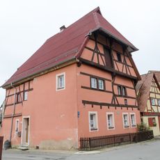
Färbergasse 23
134 m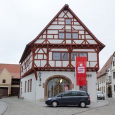
So-called High House
149 m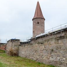
Sogenannter Bürgerturm
115 m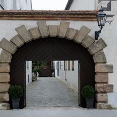
Fürstenherberge
187 m
Wohngebäude
75 m
Ehemaliges Zollhaus vom Unteren Tor
49 m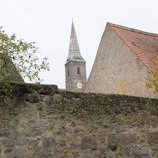
Stadtmauer, rückwärtig südliche Ring- und Zwingermauer
92 m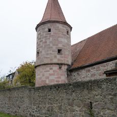
Sogenannter Hungerturm
169 m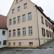
Ehemaliges Schulhaus
96 m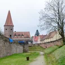
Stadtmauer, westliche Ring- und Zwingermauer
96 m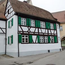
Färbergasse 16 (Wolframs-Eschenbach)
87 m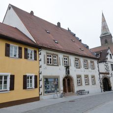
Ehemaliges Fürstengasthaus
187 m
Hauptstraße 14
172 m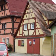
Färbergasse 25
128 m
Färbergasse 31
56 m
Hauptstraße 12
190 mReviews
Visited this place? Tap the stars to rate it and share your experience / photos with the community! Try now! You can cancel it anytime.
Discover hidden gems everywhere you go!
From secret cafés to breathtaking viewpoints, skip the crowded tourist spots and find places that match your style. Our app makes it easy with voice search, smart filtering, route optimization, and insider tips from travelers worldwide. Download now for the complete mobile experience.

A unique approach to discovering new places❞
— Le Figaro
All the places worth exploring❞
— France Info
A tailor-made excursion in just a few clicks❞
— 20 Minutes