
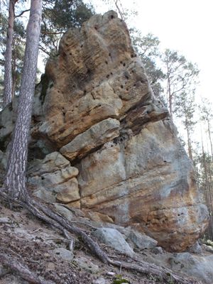
Baudenkmal, cultural heritage monument D-4-73-165-154 (0) in Seßlach, Bavaria
Location: Seßlach
Address: Bauersleite; Burgstall; Wiesener Holz; im Wald etwa 115 m westnordwestlich Punkt 343,6 (Röthberg)
GPS coordinates: 50.16322,10.83632
Latest update: March 26, 2025 20:39
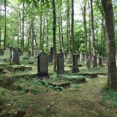
Jüdischer Friedhof
1.1 km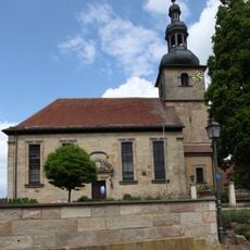
St. Bartholomew (Memmelsdorf in Unterfranken)
2.7 km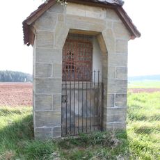
Wegkapelle
2.6 km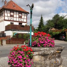
Brunnen
621 m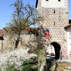
Brücke Nähe Juliusweg in Seßlach
2.6 km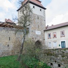
Brücke Nähe HeLennweg in Seßlach
2.6 km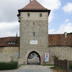
Torturm
2.6 km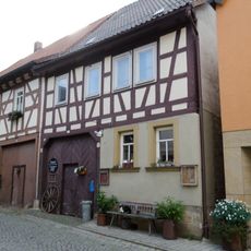
Cultural heritage D-4-73-165-42 in Seßlach
2.7 km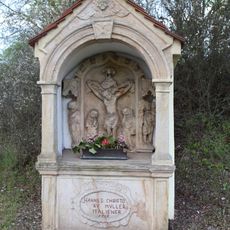
Bildstock
2.4 km
Ackerbürgerhaus
2.7 km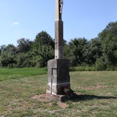
Wegkreuz
2.6 km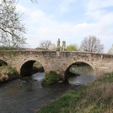
Bogenbrücke
2.6 km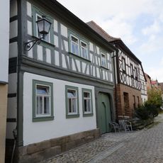
Cultural heritage D-4-73-165-21 in Seßlach
2.7 km
Cultural heritage D-4-73-165-41 in Seßlach
2.7 km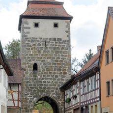
Torturm
2.7 km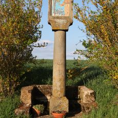
Bildstock
2.6 km
Cultural heritage D-4-73-165-202 in Seßlach
2.5 km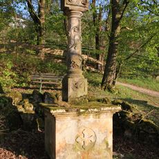
Bildstock
2.6 km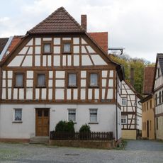
Cultural heritage D-4-73-165-8 in Seßlach
2.6 km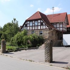
Cultural heritage D-4-73-165-201 in Seßlach
2.6 km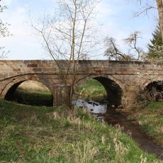
Straßenbrücke
2.5 km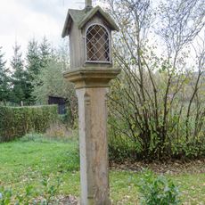
Bildstock
2.6 km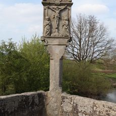
Bildstock
2.6 km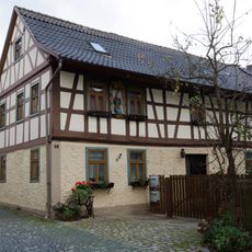
Cultural heritage D-4-73-165-20 in Seßlach
2.6 km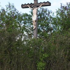
Wegkreuz
2.2 km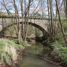
Alsteraue von der Landesgrenze bis zur Mündung
2.1 km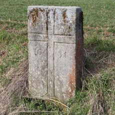
Kreuzstein
371 m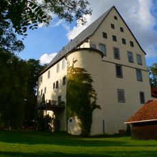
Schloss
722 mReviews
Visited this place? Tap the stars to rate it and share your experience / photos with the community! Try now! You can cancel it anytime.
Discover hidden gems everywhere you go!
From secret cafés to breathtaking viewpoints, skip the crowded tourist spots and find places that match your style. Our app makes it easy with voice search, smart filtering, route optimization, and insider tips from travelers worldwide. Download now for the complete mobile experience.

A unique approach to discovering new places❞
— Le Figaro
All the places worth exploring❞
— France Info
A tailor-made excursion in just a few clicks❞
— 20 Minutes