
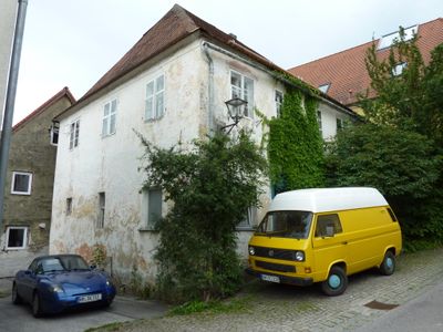
Ehemaliges Ackerbürgerhaus, building in Lauterhofen, Upper Palatinate, Germany
Location: Lauterhofen
Address: Jakob-Haffner-Straße 4
GPS coordinates: 49.36888,11.60350
Latest update: April 6, 2025 08:35
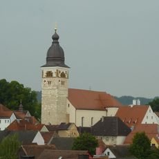
St. Michael
81 m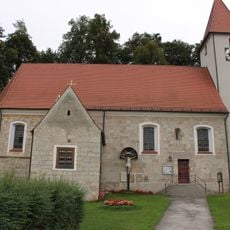
St. Martin
4.2 km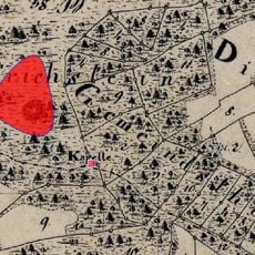
Cultural heritage D-3-6635-0052 in Lauterhofen
3.1 km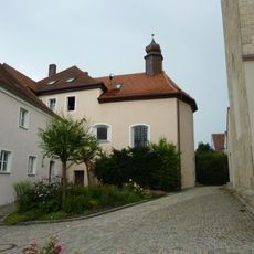
Maria Hilf-Kapelle
80 m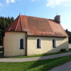
St. Lampert
2.5 km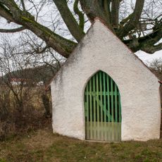
Drei Kapellen mit Leidensstationen
357 m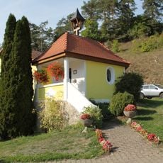
Kapelle Heilige Dreifaltigkeit
3.2 km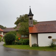
Hofkapelle Mariä Krönung
4.1 km
Kapelle Hl. Dreifaltigkeit
1.7 km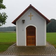
Wegkapelle St. Maria
3.8 km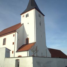
Wallfahrtskirche Mariä Namen
3.9 km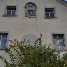
Ehemaliges Wirtshaus
3.5 km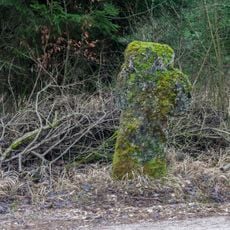
Steinkreuz Inzenhof
2.2 km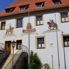
Rathaus Lauterhofen
62 m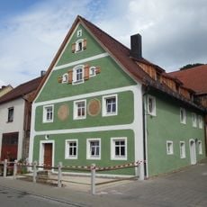
Bauernhaus
168 m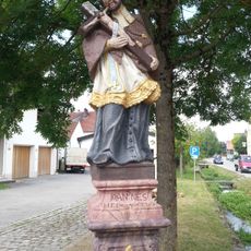
Standbild hl. Johannes von Nepomuk
181 m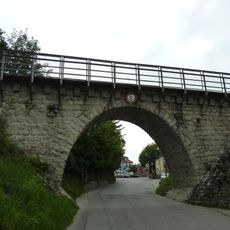
Eisenbahnbrücke
202 m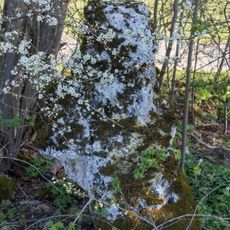
Sichelstein bei Wilfertshofen
3.9 km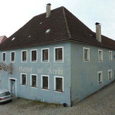
Gasthaus zur Krone
40 m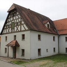
Ambergstraße 14
4.2 km
Ehemaliges Benefiziatenhaus
4.2 km
Wohnstallstadelhaus
229 m
Wohnhaus
256 m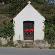
Wegkapelle St. Maria
1.6 km
Doppelgeschossiger Gewölbebau
4.2 km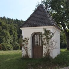
Marienkapelle
3.2 km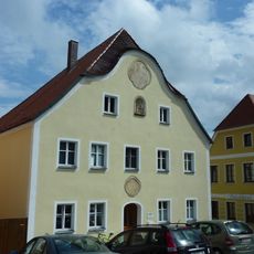
Bürgerhaus
26 m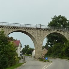
Eisenbahnbrücke Lauterhofen
214 mReviews
Visited this place? Tap the stars to rate it and share your experience / photos with the community! Try now! You can cancel it anytime.
Discover hidden gems everywhere you go!
From secret cafés to breathtaking viewpoints, skip the crowded tourist spots and find places that match your style. Our app makes it easy with voice search, smart filtering, route optimization, and insider tips from travelers worldwide. Download now for the complete mobile experience.

A unique approach to discovering new places❞
— Le Figaro
All the places worth exploring❞
— France Info
A tailor-made excursion in just a few clicks❞
— 20 Minutes