
Feldkreuz, Axtheid-Berg; Gusseisern auf Kalksteinsockel, bezeichnet mit „1883“
Location: Vilseck
Address: Bergleite
GPS coordinates: 49.61927,11.81643
Latest update: October 26, 2025 01:03
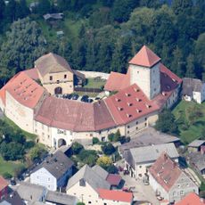
Burg Dagestein
870 m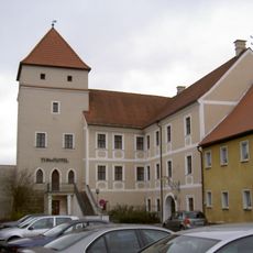
Vilstor
1 km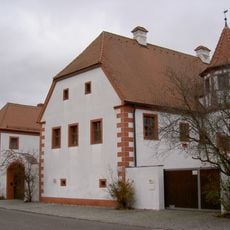
Ehemalige Burghut, sogenanntes Schlössl, Parallelhof
817 m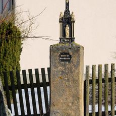
Wegkreuz
869 m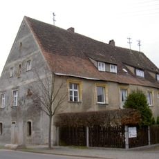
Vilseck Froschau 7
886 m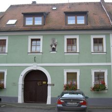
Vilseck Herrengasse 7
1 km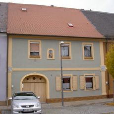
Ehemaliges Ackerbürgerhaus
991 m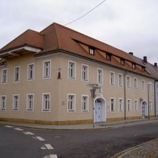
Vilseck Breite Gasse 1
986 m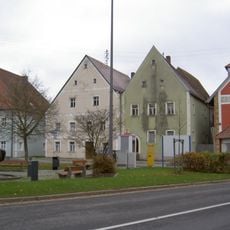
Wohnhaus
987 m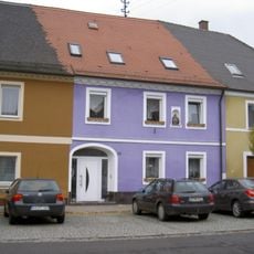
Ehemaliges Ackerbürgerhaus
991 m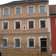
Wohnhaus
1 km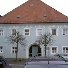
Hofanlage, sogenannter Hammerhof
995 m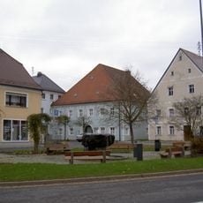
Wohnhaus
992 m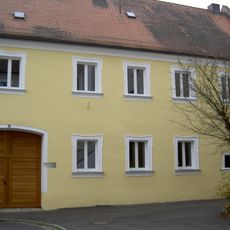
Ackerbürgerhaus
1 km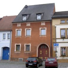
Ehemaliges Ackerbürgerhaus
1.1 km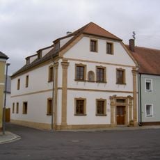
Ehemaliger Gasthof
993 m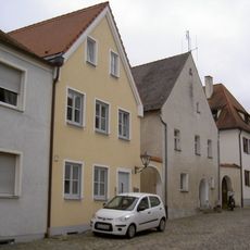
Ehemaliges Ackerbürgerhaus
1.1 km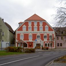
Gasthof
985 m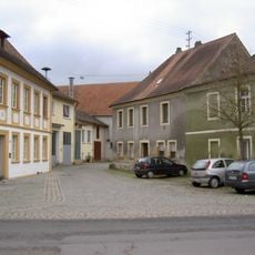
Vilseck Froschau 12
935 m
Ehemaliges Ackerbürgerhaus
936 m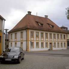
Bürgerspital
912 m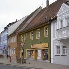
Ehemaliges Ackerbürgerhaus
1.1 km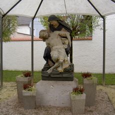
Pietà
923 m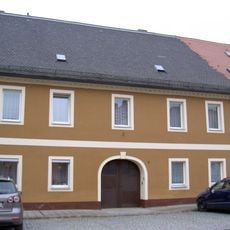
Ehemaliges Ackerbürgerhaus
991 m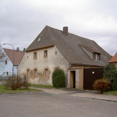
Bauernhaus
791 m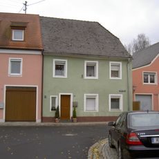
Ehemaliges Ackerbürgerhaus
1 km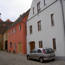
Ackerbürgerhaus
1.1 km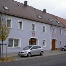
Ehemaliges Ackerbürgerhaus
990 mReviews
Visited this place? Tap the stars to rate it and share your experience / photos with the community! Try now! You can cancel it anytime.
Discover hidden gems everywhere you go!
From secret cafés to breathtaking viewpoints, skip the crowded tourist spots and find places that match your style. Our app makes it easy with voice search, smart filtering, route optimization, and insider tips from travelers worldwide. Download now for the complete mobile experience.

A unique approach to discovering new places❞
— Le Figaro
All the places worth exploring❞
— France Info
A tailor-made excursion in just a few clicks❞
— 20 Minutes