
Bildstock, breiter Pfeiler mit beiderseitigen Nischen, 18./19. Jahrhundert
Location: Vilshofen an der Donau
Address: Roßleite, an der Altstraße Vilshofen–Albersdorf
GPS coordinates: 48.64346,13.18738
Latest update: October 25, 2025 19:29
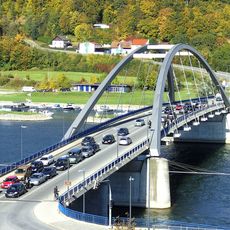
Marienbrücke
789 m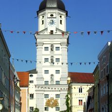
Stadtturm Vilshofen
1 km
Katholische Friedhofskirche St. Barbara
963 m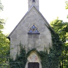
Albersdorfer Hauptstraße 1 - Wegkapelle
287 m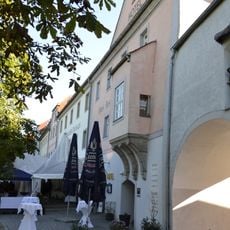
Wittelsbacher Zollhaus
1 km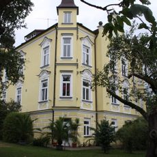
Villa
905 m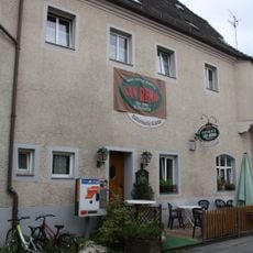
Gasthaus zur Blauen Donau
901 m
Kriegerdenkmal
1 km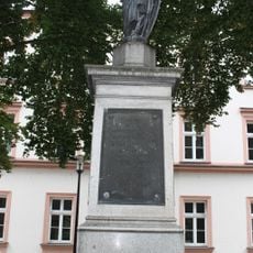
Kriegerdenkmal für 1870/71
986 m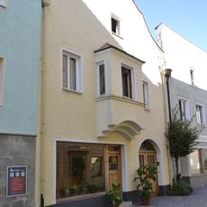
Wohnhaus
998 m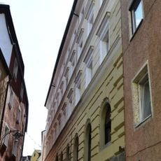
Wohn- und Geschäftshaus
1 km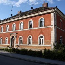
Wohnhaus
975 m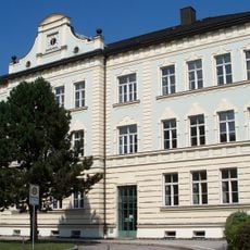
Ritter-Tuschl-Schule
959 m
Ehemaliges kurfürstliches weißes Brauhaus
908 m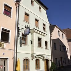
Wohnhaus
1 km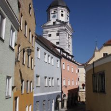
Wohnhaus
1 km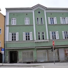
Wohn- und Geschäftshaus
1 km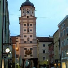
Stadtturm
1 km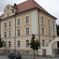
Ehemaliges Landratsamt, heute Finanzamt
982 m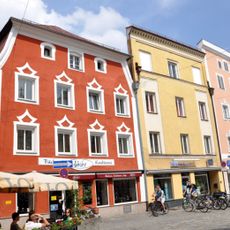
Wohn- und Geschäftshaus
1 km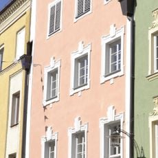
Wohn- und Geschäftshaus
1 km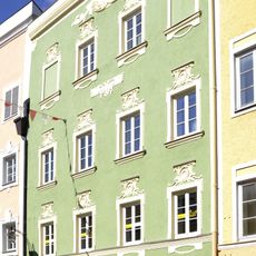
Wohn- und Geschäftshaus
1 km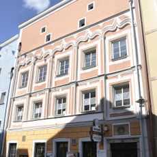
Gasthaus
1 km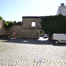
Rest der Stadtmauer
936 m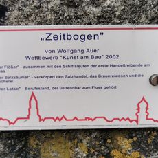
Zeitbogen
950 m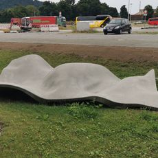
Work of art, sculpture
947 m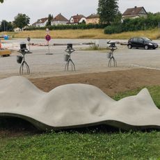
Work of art, installation artwork
915 m
Scenic viewpoint
260 mReviews
Visited this place? Tap the stars to rate it and share your experience / photos with the community! Try now! You can cancel it anytime.
Discover hidden gems everywhere you go!
From secret cafés to breathtaking viewpoints, skip the crowded tourist spots and find places that match your style. Our app makes it easy with voice search, smart filtering, route optimization, and insider tips from travelers worldwide. Download now for the complete mobile experience.

A unique approach to discovering new places❞
— Le Figaro
All the places worth exploring❞
— France Info
A tailor-made excursion in just a few clicks❞
— 20 Minutes