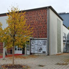
Bauernhaus und ehem. Kramerei, building in Unterdietfurt, Lower Bavaria, Germany
Location: Unterdietfurt
Address: Dorfstraße 13
GPS coordinates: 48.39602,12.69483
Latest update: October 25, 2025 14:54
Theater an der Rott
5.7 km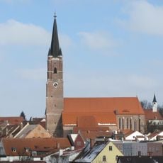
St. Nikolaus und Stephanus (Eggenfelden)
5.1 km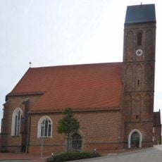
Katholische Wallfahrtskirche St. Corona
5.1 km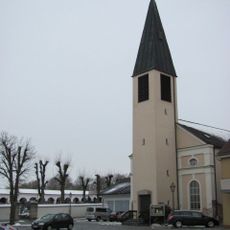
Reformations-Gedächtnis-Kirche
5.1 km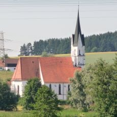
Church of the Visitation (Unterdietfurt)
2.7 km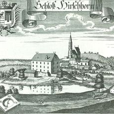
Schloss Hirschhorn
5.8 km
Pfarrkirche St. Johannes der Täufer
3.6 km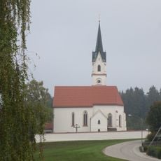
St. Michael (Eggenfelden-Kirchberg)
3.9 km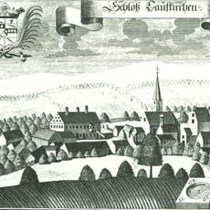
Schloss Taufkirchen
4.4 km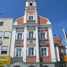
Rathaus Eggenfelden
5 km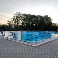
Freibad Eggenfelden
4.6 km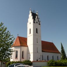
Katholische Kirche St. Martin (Huldsessen)
162 m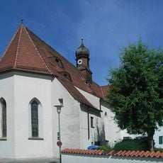
Spitalkirche Heiliggeist
5.1 km
Katholische Pfarrkirche Mariä Heimsuchung
2.7 km
Katholische Pfarrkirche St. Rupertus
5.8 km
Franziskanerkloster mit Klosterkirche
5.2 km
Grabmal Sankt Sebastian 8 in EggenfeLenn
5.3 km
Ensemble Altstadt Eggenfelden
2 km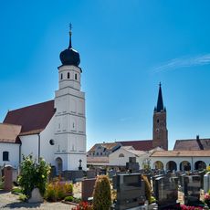
Friedhofskirche Unserer Lieben Frau
5.1 km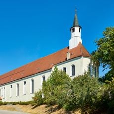
Klosterkirche St. Antonius von Padua
5.2 km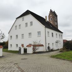
Pfarrhaus
3.5 km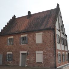
Pfarrhaus
5.1 km
Hundling
5 km
Vegetatives Zeichen
5.5 km
Element
4.2 km
Marienbrunnen
5.1 km
Hl. Christophorus
2.3 km
Aufstrebend II
4 kmReviews
Visited this place? Tap the stars to rate it and share your experience / photos with the community! Try now! You can cancel it anytime.
Discover hidden gems everywhere you go!
From secret cafés to breathtaking viewpoints, skip the crowded tourist spots and find places that match your style. Our app makes it easy with voice search, smart filtering, route optimization, and insider tips from travelers worldwide. Download now for the complete mobile experience.

A unique approach to discovering new places❞
— Le Figaro
All the places worth exploring❞
— France Info
A tailor-made excursion in just a few clicks❞
— 20 Minutes