
Grenzstein, Grenzstein mit Regensburger Wappen, 17./18. Jahrhundert
Location: Sinzing
Address: Brunnfeld
GPS coordinates: 49.00902,11.98641
Latest update: March 5, 2025 09:20
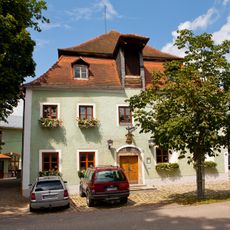
Gaststätte Röhrl
960 m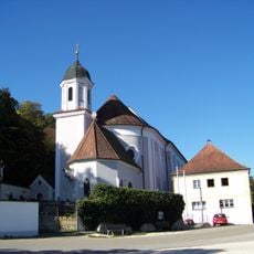
Mariä Himmelfahrt
3 km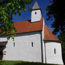
St. Michael
3 km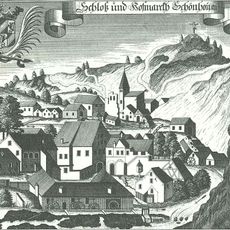
Burgstall Schönhofen
1.8 km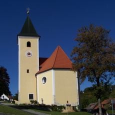
St. Michael
2.5 km
Burgstall Stifterfelsen
1.6 km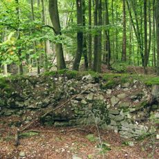
Burgruine Bruckdorf
2.5 km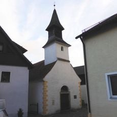
Kirche St. Wolfgang
2.7 km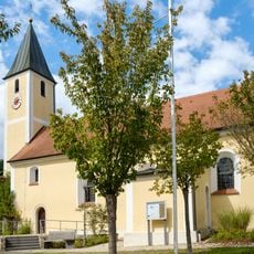
St. Johannes Baptist
1.8 km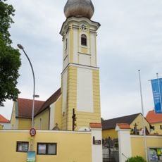
St. Wolfgang
962 m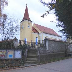
St. Katharina
2.7 km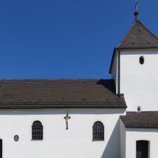
Katholische Kirche Hl. Kreuz
3 km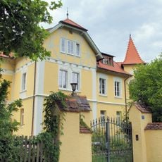
Villa, sogenanntes Gelbes Haus
2.6 km
Bauernhaus
3 km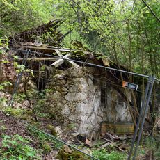
Wohnhaus, sogenanntes Stifterhäusl
1.7 km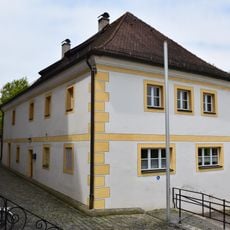
Schulhaus
3 km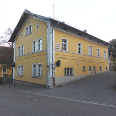
Etterzhausen
2.4 km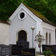
Kapelle Mariaort 3 in Sinzing
3 km
Bahnhof Etterzhausen
2.5 km
Pfarrhaus
967 m
Etterzhausen
2.4 km
Der gelbe Felsen SE von Schönhofen
1.5 km
Kletterfelsen von Schönhofen
2.4 km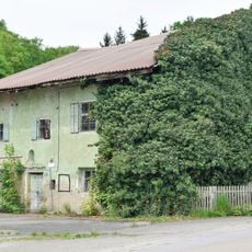
Ehemaliges Gasthaus
3 km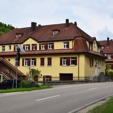
Haus 1
2.6 km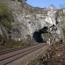
Eisenbahntunnel
1.5 km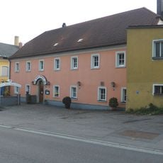
Gasthof
2.5 km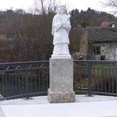
Figur des hl. Johannes Nepomuk
1.8 kmReviews
Visited this place? Tap the stars to rate it and share your experience / photos with the community! Try now! You can cancel it anytime.
Discover hidden gems everywhere you go!
From secret cafés to breathtaking viewpoints, skip the crowded tourist spots and find places that match your style. Our app makes it easy with voice search, smart filtering, route optimization, and insider tips from travelers worldwide. Download now for the complete mobile experience.

A unique approach to discovering new places❞
— Le Figaro
All the places worth exploring❞
— France Info
A tailor-made excursion in just a few clicks❞
— 20 Minutes