
Stadtbefestigung, ende 14. Jahrhundert errichtet, nach 1430 verstärkt. (Die beiden Tortürme an den Enden des Straßenmarktes sowie das Neutor am Ortsausgang Richtung Eschenbach sind abgebrochen.) Die aus Sandsteinquadern errichtete Stadtmauer ist insbesondere an der
Location: Neustadt am Kulm
Address: Unteres Tor 1
GPS coordinates: 49.82562,11.83554
Latest update: April 10, 2025 11:39
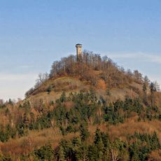
Rauher Kulm
1.1 km
Prämonstratenserkloster Speinshart
4.5 km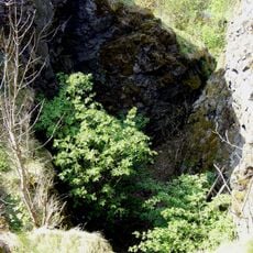
Kleiner Kulm bei Neustadt am Kulm
279 m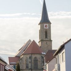
Dreifaltigkeitskirche
52 m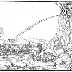
Burgstall Schlechtenkulm
279 m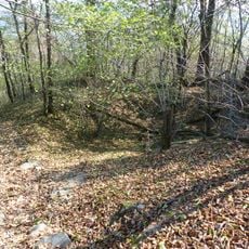
Burgstall Rauhenkulm
1.1 km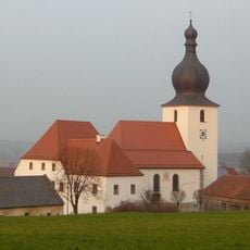
Saint Michael Church
1.1 km
St. Johannes Evangelist
5 km
Schloss Schlackenhof
4 km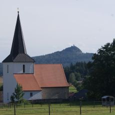
Katholische Filialkirche Sankt Georg
5.1 km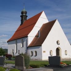
Friedhofskirche Sankt Maria Magdalena
6 km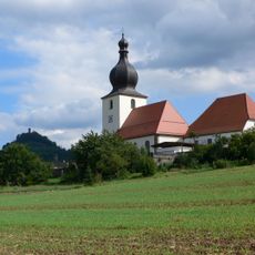
Saint Michael Church
1.1 km
Traufseithaus
106 m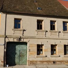
Traufseithaus
214 m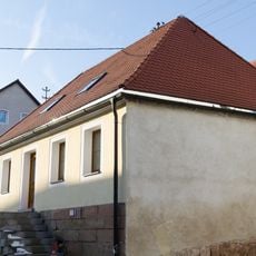
Zugehörige Scheune
23 m
Traufseithaus
134 m
Ackerbürgerhaus
199 m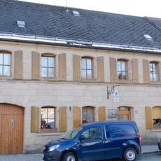
Ackerbürgeranwesen
129 m
Traufseithaus
114 m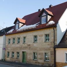
Bayreuther Straße 3
6.1 km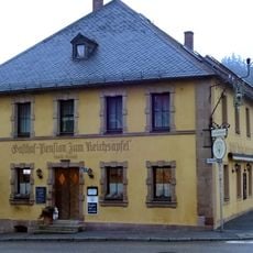
Gasthof
299 m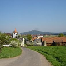
Kirchturm
4.4 km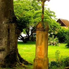
Kruzifix
4.5 km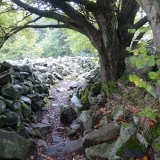
Basaltkuppen im Raum Kemnath
4.9 km
Ehemaliges Gasthaus
221 m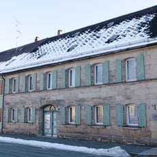
Ackerbürgeranwesen
146 m
Traufseithaus
166 m
Schloss
2.9 kmReviews
Visited this place? Tap the stars to rate it and share your experience / photos with the community! Try now! You can cancel it anytime.
Discover hidden gems everywhere you go!
From secret cafés to breathtaking viewpoints, skip the crowded tourist spots and find places that match your style. Our app makes it easy with voice search, smart filtering, route optimization, and insider tips from travelers worldwide. Download now for the complete mobile experience.

A unique approach to discovering new places❞
— Le Figaro
All the places worth exploring❞
— France Info
A tailor-made excursion in just a few clicks❞
— 20 Minutes