Enable Location

We need your location to show you interesting places around you

Discover nearby places

Find interesting locations and hidden gems around you

Precise directions

Get accurate directions and distances to places

Your location is never shared with other users. It's only used when you tap the location button.

Rauher Kulm

Log in to your account

Start exploring — it's free

Trusted by 62,131 travelers worldwide

Continue with Google
Continue with Apple
or

We will send you a code to connect

By continuing, you accept our Terms and Conditions and our Privacy Policy

Check your inbox

We've sent a pincode in your inbox. Please enter the code below.

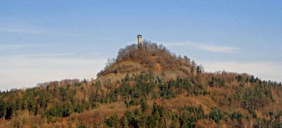
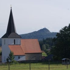
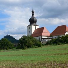
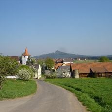
Rauher Kulm, Volcanic summit near Neustadt am Kulm, Germany.

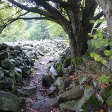
Rauher Kulm is a basalt mountain reaching 681 meters in height, topped by a 25-meter observation tower built in the 1980s. The terrain displays typical blockfields and volcanic structures that make this protected natural monument geologically distinctive.

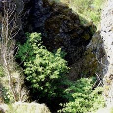
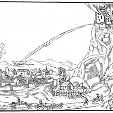
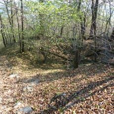
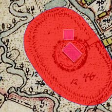
The site hosted a medieval castle until its destruction during the Second Margrave War in the 1500s. The few remaining wall fragments suggest the mountain was a strategically important location for centuries.

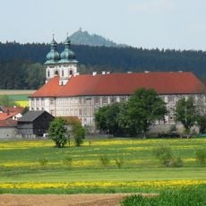
The observation tower, built in the 1980s, stands at a location with a long history of tower construction dating back to the early 1800s. Visitors can see from above how this peak has served as a landmark for people across the region for centuries.

The ascent follows a rocky path from the sports park parking area, taking approximately 30 to 40 minutes to reach the top. The terrain is uneven and requires sturdy footwear, particularly after rain when the rock blocks can become slippery.

The mountain formed from an ancient volcanic pipe that still shapes the blockfields and rock formations today. This geological structure makes the peak a rare example of volcanic activity in the region and explains its protected status.

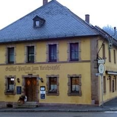
The community of curious travelers

AroundUs brings together thousands of curated places, local tips, and hidden gems, enriched daily by 60,000 contributors worldwide.

Start exploring
Location
Elevation above the sea
681 m
Length
250 m
Width
250 m
GPS coordinates
49.82875,11.84968
Latest update
December 7, 2025 20:24
« Rauher Kulm - Volcanic summit near Neustadt am Kulm, Germany » is provided by Around Us (aroundus.com). Images and texts are derived from Wikimedia project under a Creative Commons license. You are allowed to copy, distribute, and modify copies of this page, under the conditions set by the license, as long as this note is clearly visible.

Discover hidden gems everywhere you go!

From secret cafés to breathtaking viewpoints, skip the crowded tourist spots and find places that match your style. Our app makes it easy with voice search, smart filtering, route optimization, and insider tips from travelers worldwide. Download now for the complete mobile experience.

Around Us App Screenshot

A unique approach to discovering new places

Le Figaro

All the places worth exploring

France Info

A tailor-made excursion in just a few clicks

20 Minutes

Around Us
Travel Guide & Maps
Download

Send to your phone

QR Code
1

Open the camera app on your mobile.

2

Point at the QR code with your camera. A notification will appear.

3

Tap the notification to open the link.