
Friedhof, mit Grabdenkmälern 19./20. Jahrhundert; Anlage seit 1818 südwestlich des alten Kirchhofes
Location: Floß
Address: Dr.-Martin-Luther-Ring 7
GPS coordinates: 49.72290,12.27456
Latest update: March 28, 2025 23:01
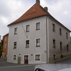
Podewilshaus Floß
288 m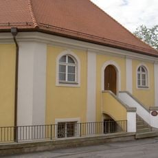
Synagoge (Floß)
321 m
Katholische Pfarrkirche
306 m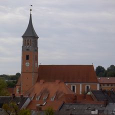
Evangelische Pfarrkirche (Floß)
105 m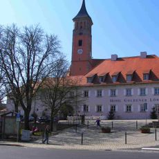
Floß Marktplatz 2
134 m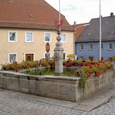
Floß Marktplatz Brunnen
147 m
Brunnen Wiedenbrunnenweg Floß
314 m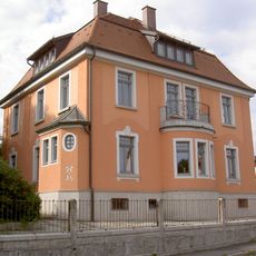
Riebl-Villa
266 m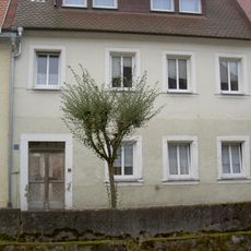
Haustür
252 m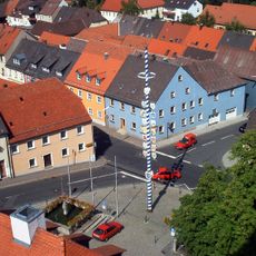
Ensemble Ortskern Floß (Upper Palatinate)
169 m
Floß Luitpoldplatz 2
152 m
Brunnen
185 m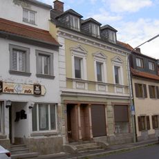
Wohn- und Geschäftshaus
174 m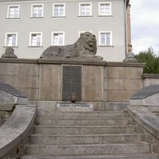
Kriegerdenkmal
145 m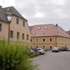
Wohnhaus
235 m
Alter Pfarrhof
119 m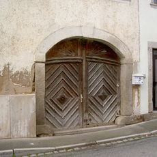
Torbogen
330 m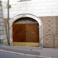
Granittorbogen
92 m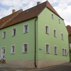
Wohnhaus
345 m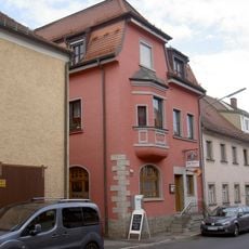
Wohn- und Geschäftshaus
165 m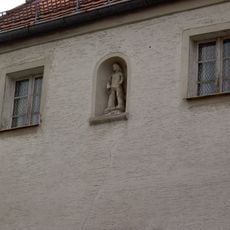
Nischenfigur
266 m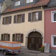
Wohnhaus
180 m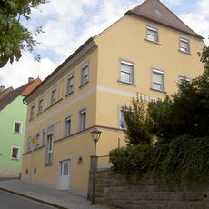
Wohnhaus
330 m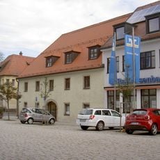
Scheune
184 m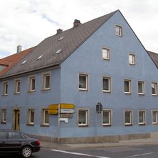
Wohnhaus
179 m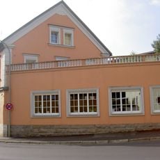
Wohnhaus
214 m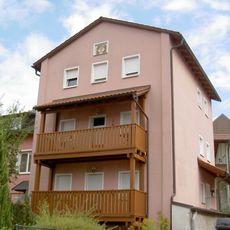
Floß Mühlgraben 14 Haberstumpfmühle
284 m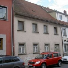
Wohnhaus
167 mReviews
Visited this place? Tap the stars to rate it and share your experience / photos with the community! Try now! You can cancel it anytime.
Discover hidden gems everywhere you go!
From secret cafés to breathtaking viewpoints, skip the crowded tourist spots and find places that match your style. Our app makes it easy with voice search, smart filtering, route optimization, and insider tips from travelers worldwide. Download now for the complete mobile experience.

A unique approach to discovering new places❞
— Le Figaro
All the places worth exploring❞
— France Info
A tailor-made excursion in just a few clicks❞
— 20 Minutes