
Kirchenstraße 6, building in Fürth, Middle Franconia, Germany
Location: Fürth
Address: Kirchenstraße 6
GPS coordinates: 49.47130,10.99423
Latest update: April 11, 2025 00:20

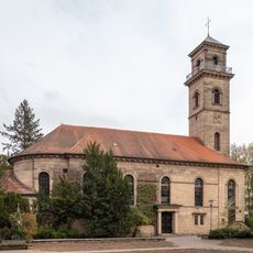
Auferstehungskirche
126 m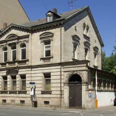
Königstraße 139
230 m
Babylon - Kino am Stadtpark
109 m
Königswarterstraße 22 (Fürth)
109 m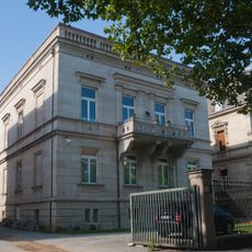
Königswarterstraße 24
99 m
Königswarterstraße 20 (Fürth)
124 m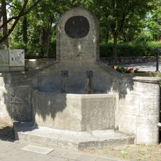
König-Ludwig-II.-Brunnen
165 m
Nürnberger Straße 2a
125 m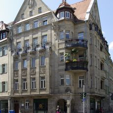
Nürnberger Straße 2
138 m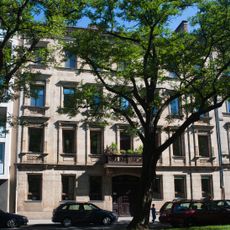
Residential building Rudolf-Breitscheid-Straße 49, Fürth
186 m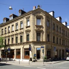
Nürnberger Straße 25 (Fürth)
227 m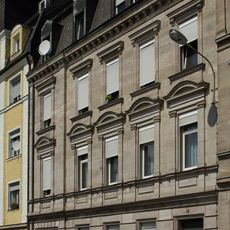
Gebhardtstraße 25 (Fürth)
235 m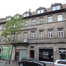
Wohnhaus
105 m
Gebhardtstraße 3
191 m
Bahnhofplatz 7
195 m
Gebhardtstraße 5-5a
183 m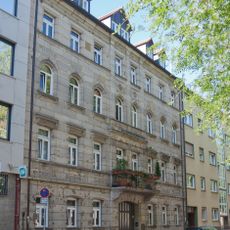
Königswarterstraße 42
147 m
Ehemaliges Verwaltungsgebäude der Deutschen Tafelglas AG
190 m
Wohnhaus
207 m
Rudolf-Breitscheid-Straße 51
209 m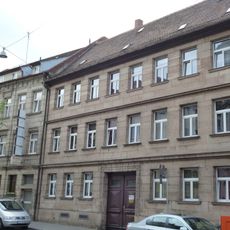
Wohnhaus
89 m
Nürnberger Straße 38
240 m
Ehemaliges Nebengebäude und Hopfenlagerhaus
201 m
Bahnhofplatz 8
210 m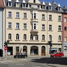
Ehemaliges Wilhelmsbad, jetzt Wohn- und Geschäftshaus
145 m
Gebhardtstraße 7
175 m
Mietshaus in Ecklage
162 m
Luisenstraße 3
236 mReviews
Visited this place? Tap the stars to rate it and share your experience / photos with the community! Try now! You can cancel it anytime.
Discover hidden gems everywhere you go!
From secret cafés to breathtaking viewpoints, skip the crowded tourist spots and find places that match your style. Our app makes it easy with voice search, smart filtering, route optimization, and insider tips from travelers worldwide. Download now for the complete mobile experience.

A unique approach to discovering new places❞
— Le Figaro
All the places worth exploring❞
— France Info
A tailor-made excursion in just a few clicks❞
— 20 Minutes