
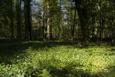
Gerkerather Wald, nature reserve in Germany
Location: Mönchengladbach
Inception: 1990
GPS coordinates: 51.17120,6.35529
Latest update: March 2, 2025 23:47
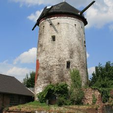
Gerkerather Mühle
1.8 km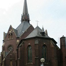
Church of the Visitation
1.5 km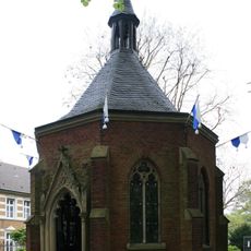
Gnadenkapelle Heiligenpesch
1.5 km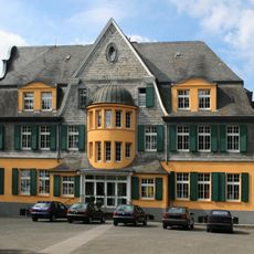
Am Kuhbaum 50
1.6 km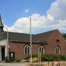
St. Johannes
703 m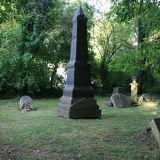
Jewish cemetery
2.2 km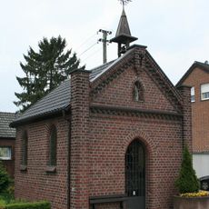
Kapelle St. Josef
1.7 km
FohlenWelt
2 km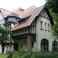
Louise-Gueury-Straße 410
2 km
Louise-Gueury-Straße 240
1.8 km
Hardter Straße 511
1 km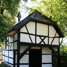
St.-Sebastian-Kapelle
1.9 km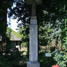
Hochkreuz Görresstraße/Hardter Straße
1.9 km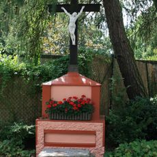
Wegekreuz Gerkerather Mühle
1.8 km
Heiligenpesch 75
1.7 km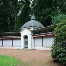
Louise-Gueury-Straße 398
2.1 km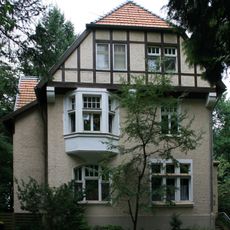
Louise-Gueury-Straße 420
2.1 km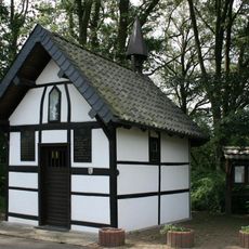
Kapelle Herdt
1 km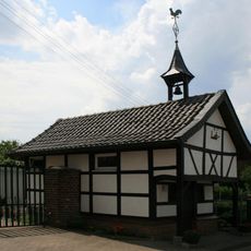
Zum hl. Antonius von Padua und Rochus
1.4 km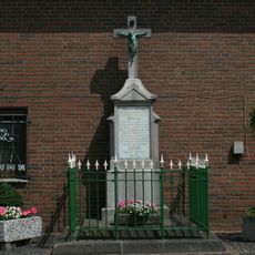
Wegekreuz Kothausen
1.7 km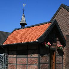
Kapelle Genhodder
1.9 km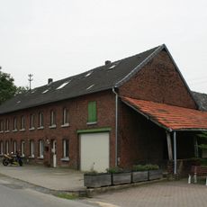
Kothausen 12
1.3 km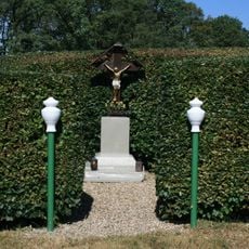
Wegekreuz Am Leloher Pfad
2 km
Wyenhütte 14
2 km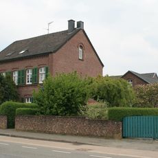
Wolfsittard 110
1.3 km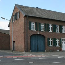
Hardter Straße 529
1.1 km
Brucknerallee 129
1.9 km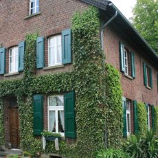
Hehn 203a
1.9 kmReviews
Visited this place? Tap the stars to rate it and share your experience / photos with the community! Try now! You can cancel it anytime.
Discover hidden gems everywhere you go!
From secret cafés to breathtaking viewpoints, skip the crowded tourist spots and find places that match your style. Our app makes it easy with voice search, smart filtering, route optimization, and insider tips from travelers worldwide. Download now for the complete mobile experience.

A unique approach to discovering new places❞
— Le Figaro
All the places worth exploring❞
— France Info
A tailor-made excursion in just a few clicks❞
— 20 Minutes