
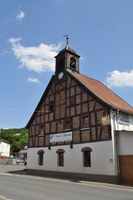
Ehemaliges Verwaltungs- und Speichergebäude
Ehemaliges Verwaltungs- und Speichergebäude, Cultural heritage monument in Weilmünster, Hesse, Germany
Location: Weilmünster
Address: Buderusstraße
GPS coordinates: 50.41014,8.39159
Latest update: March 3, 2025 14:52

Klinikum Weilmünster
2.6 km
Hühnerküppel
2.9 km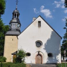
Evangelische Kirche
2.8 km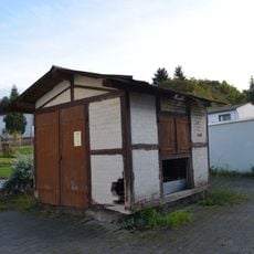
Alte Viehwaage
1.8 km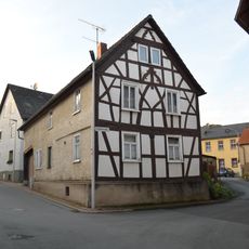
Schulstraße 1
1.8 km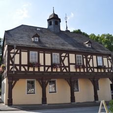
Altes Amtshaus und Backhaus
2.8 km
Altes Rat- und Backhaus
2.2 km
Ehemalige Ringmauer
2.7 km
Schulstraße 2
1.8 km
Grundschule Weilmünster
2.4 km
Alte Schule
1.8 km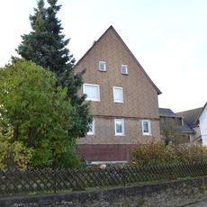
Langgasse 10
1.7 km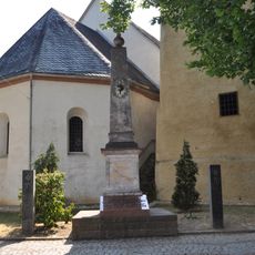
Denkmal 1870/71
2.8 km
Hauptstraße 12
2.8 km
Wirtshaus-Schild
2.8 km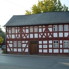
Am Bleidenbach 27/29
2.8 km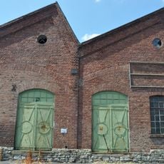
Ehemaliges Buderuswerk Audenschmiede
48 m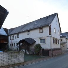
Wedegasse 6
1.8 km
Evangelische Kirche Langenbach
1.8 km
Schultheissenstraße 8
2.3 km
Gäßchen 4
1.7 km
Untertor
2.7 km
Gesamtanlage Langenbach
1.8 km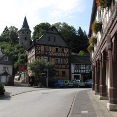
Rathausplatz 1
2.7 km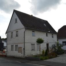
Iserbachstraße 36
3 km
Schulstraße 3
1.8 km
Hintergasse 12
2.9 km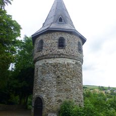
Kirbergturm
2.7 kmReviews
Visited this place? Tap the stars to rate it and share your experience / photos with the community! Try now! You can cancel it anytime.
Discover hidden gems everywhere you go!
From secret cafés to breathtaking viewpoints, skip the crowded tourist spots and find places that match your style. Our app makes it easy with voice search, smart filtering, route optimization, and insider tips from travelers worldwide. Download now for the complete mobile experience.

A unique approach to discovering new places❞
— Le Figaro
All the places worth exploring❞
— France Info
A tailor-made excursion in just a few clicks❞
— 20 Minutes