
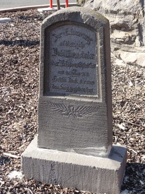
Gedenkstein, Cultural heritage monument in Reiskirchen, Hesse, Germany
Location: Reiskirchen
Address: Endersstraße
GPS coordinates: 50.59751,8.82559
Latest update: March 12, 2025 06:50
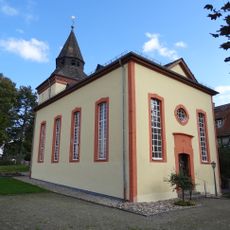
Evangelische Kirche
633 m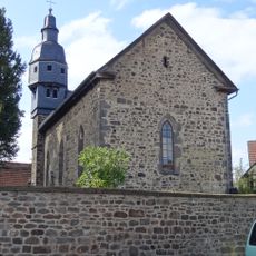
Evangelische Kirche (Burkhardsfelden)
2.1 km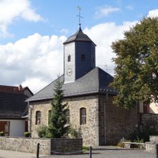
Evangelische Kirche (Lindenstruth)
2.1 km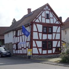
Heimatmuseum Reiskirchen
594 m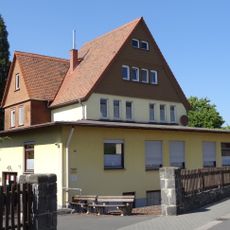
Sandgasse 10
670 m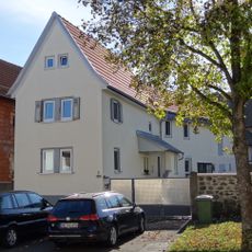
Hauptstraße 7
2.2 km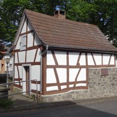
Hauptstraße 22
2.1 km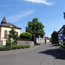
Gesamtanlage Oberdorfstraße
670 m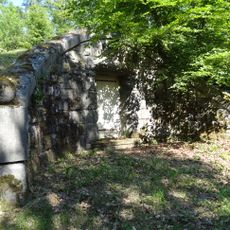
Wasserbehälter
981 m
Kirchplatz 26
2 km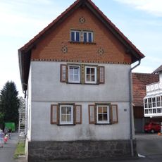
Sackgasse 10
2.2 km
Gesamtanlage Untergasse
2.2 km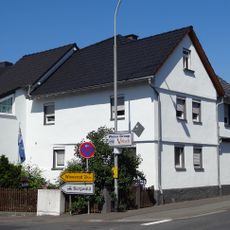
Alsfelder Straße 14
2 km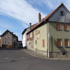
Gesamtanlage historischer Ortskern
2 km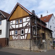
Hauptstraße 23
2.1 km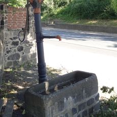
Schwengelpumpe
659 m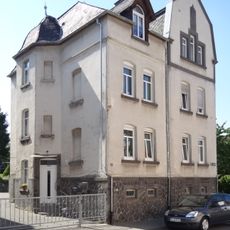
Gartenstraße 11
411 m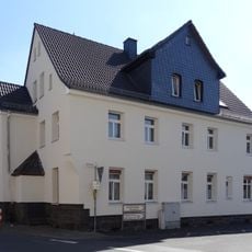
Grünberger Straße 50
449 m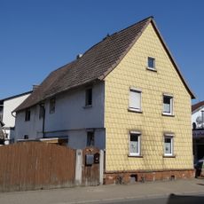
Grünberger Straße 57
504 m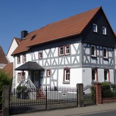
Grünberger Straße 71
595 m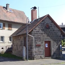
Oberdorfstraße 3
535 m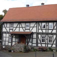
Oberdorfstraße 23
636 m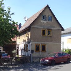
Oberdorfstraße 24
569 m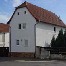
Kirchplatz 4
2.1 km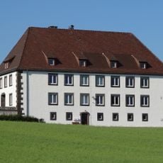
Autobahnmeisterei Reiskirchen
556 m
Hauptstraße 14
2.1 km
Steinkreuz
0 m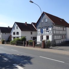
Gesamtanlage historischer Ortskern
569 mVisited this place? Tap the stars to rate it and share your experience / photos with the community! Try now! You can cancel it anytime.
Discover hidden gems everywhere you go!
From secret cafés to breathtaking viewpoints, skip the crowded tourist spots and find places that match your style. Our app makes it easy with voice search, smart filtering, route optimization, and insider tips from travelers worldwide. Download now for the complete mobile experience.

A unique approach to discovering new places❞
— Le Figaro
All the places worth exploring❞
— France Info
A tailor-made excursion in just a few clicks❞
— 20 Minutes