
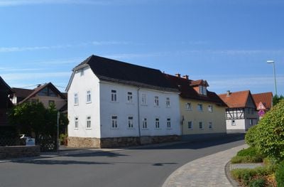
Limburger Straße 13, Cultural heritage monument in Oberjosbach, Hesse, Germany
Location: Oberjosbach
Address: Limburger Straße
GPS coordinates: 50.16999,8.33649
Latest update: March 14, 2025 20:11
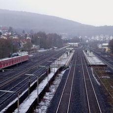
Niedernhausen station
2 km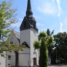
Protestant Church
2 km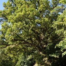
Dicke Eiche
566 m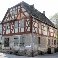
Gasthaus zum Anker
1.7 km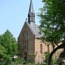
Mariä Geburt
1.9 km
Bahnhofstraße 35
2 km
Fritz-Gontermann-Straße 7
2 km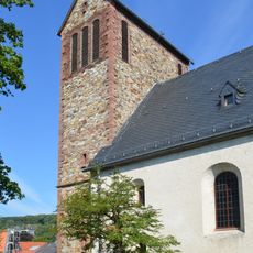
St. Michael
97 m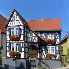
Am Alten Rathaus 3
78 m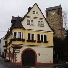
Rathaus
73 m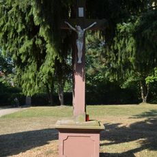
Friedhof, Friedhofskreuz
329 m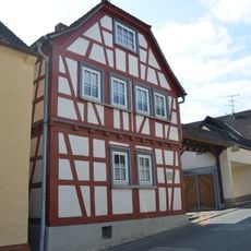
Kirchgasse 7
2 km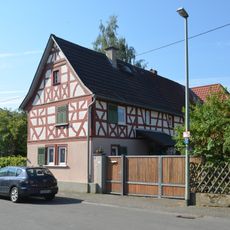
Untergasse 8
74 m
Am Josbach 1
2 km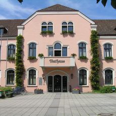
Rathaus Niedernhausen
1.7 km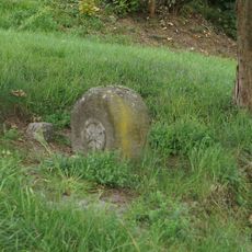
1723 works in Taunus
1.1 km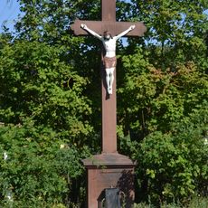
Wegekreuz
1.1 km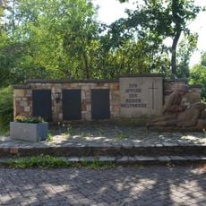
Kriegerdenkmal
85 m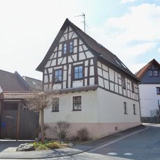
Obergasse 5
2 km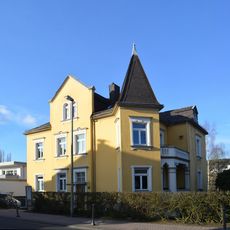
Evangelisches Pfarrhaus
2 km
Limburger Straße 17
29 m
Limburger Straße 20
75 m
Limburger Straße 25
47 m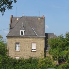
Katholisches Pfarrhaus
150 m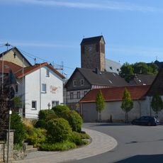
Gesamtanlage Oberjosbach
37 m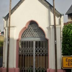
Kapelle
149 m
Am Josbach 2
2 km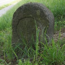
Grenzstein
1.1 kmReviews
Visited this place? Tap the stars to rate it and share your experience / photos with the community! Try now! You can cancel it anytime.
Discover hidden gems everywhere you go!
From secret cafés to breathtaking viewpoints, skip the crowded tourist spots and find places that match your style. Our app makes it easy with voice search, smart filtering, route optimization, and insider tips from travelers worldwide. Download now for the complete mobile experience.

A unique approach to discovering new places❞
— Le Figaro
All the places worth exploring❞
— France Info
A tailor-made excursion in just a few clicks❞
— 20 Minutes