
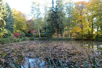
Health park Seifhennersdorf
Health park Seifhennersdorf, park in Seifhennersdorf
Location: Seifhennersdorf
Inception: 1950
Address: Gründelstraße 10a
GPS coordinates: 50.93982,14.61271
Latest update: March 4, 2025 06:53
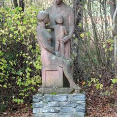
Memorial Rosa-Luxemburg-Straße 37
109 m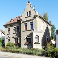
Nordstraße 20
573 m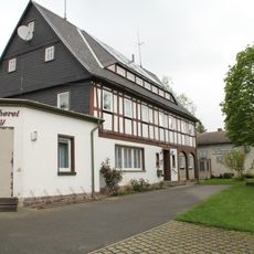
Arno-Förster-Straße 6
537 m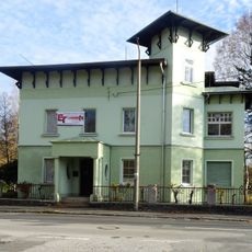
Gründelstraße 4
383 m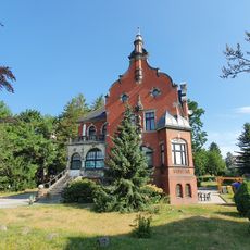
Nordstraße 34
578 m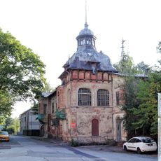
Bahnhofstraße 8; 8a
473 m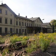
Seifhennersdorf railway station
475 m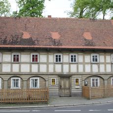
Leutersdorfer Straße 5
582 m
Leutersdorfer Straße 22
599 m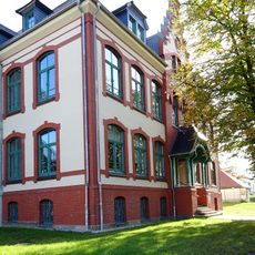
Nordstraße 30
561 m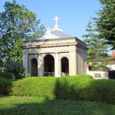
Burial vault Nordstraße 24
542 m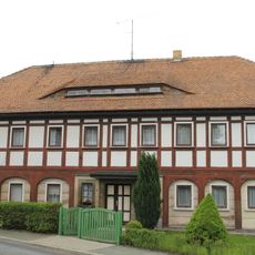
Leutersdorfer Straße 7
570 m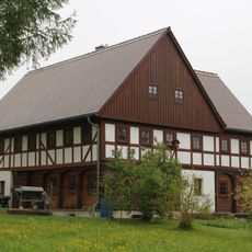
Arno-Förster-Straße 7
418 m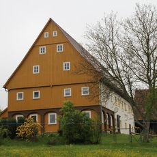
Arno-Förster-Straße 9
379 m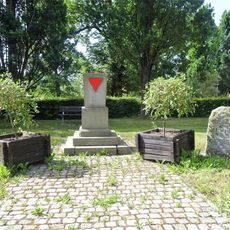
Memorial Rathausplatz
606 m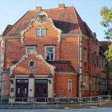
Bahnhofstraße 6
508 m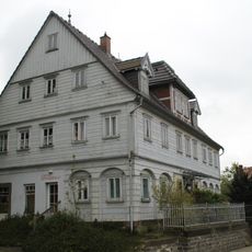
Leutersdorfer Straße 26
596 m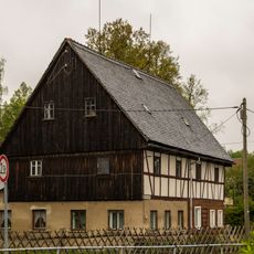
Arno-Förster-Straße 1
519 m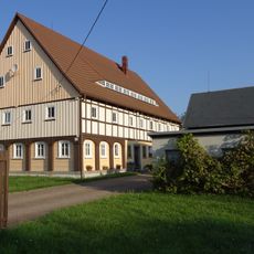
Nordstraße 6
568 m
Albertstraße 2
454 m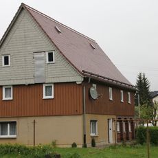
Arno-Förster-Straße 2
529 m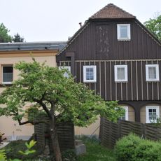
Nordstraße 26
562 m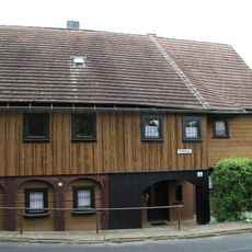
Gründelstraße 2
562 m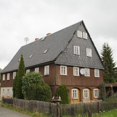
Leutersdorfer Straße 13
563 m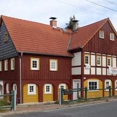
Leutersdorfer Straße 15
581 m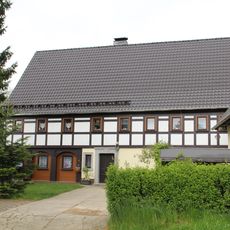
Arno-Förster-Straße 4
498 m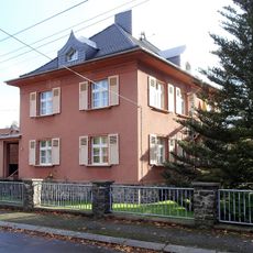
Otto-Simm-Straße 8
478 m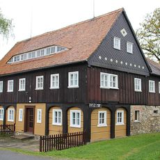
Arno-Förster-Straße 3
492 mReviews
Visited this place? Tap the stars to rate it and share your experience / photos with the community! Try now! You can cancel it anytime.
Discover hidden gems everywhere you go!
From secret cafés to breathtaking viewpoints, skip the crowded tourist spots and find places that match your style. Our app makes it easy with voice search, smart filtering, route optimization, and insider tips from travelers worldwide. Download now for the complete mobile experience.

A unique approach to discovering new places❞
— Le Figaro
All the places worth exploring❞
— France Info
A tailor-made excursion in just a few clicks❞
— 20 Minutes