
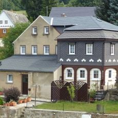
Zittauer Straße 39a, Upper Lusatian house in Ringenhain
Location: Neukirch/Lausitz
Inception: 1850
Address: Zittauer Straße 39a
GPS coordinates: 51.08344,14.32852
Latest update: March 24, 2025 22:17

Wesenitzweg 33
463 m
Hainweg 1
222 m
Grundmann-Mühle
715 m
Huste-Mühle
433 m
Buschmühle
372 m
Steinmühle
45 m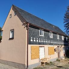
Wesenitzweg 44 (Ringenhain)
257 m
Dresdener Straße 25
608 m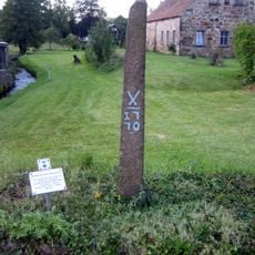
Dresdener Straße 32, Ecke Hainweg (Ringenhain)
243 m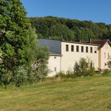
Mangel
497 m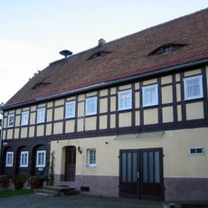
Dresdener Straße 47 Ringenhain
239 m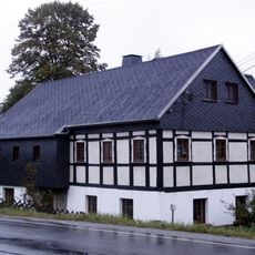
Dresdener Straße 4
837 m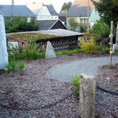
Für die Gefallenen des Ersten Weltkrieges
373 m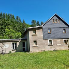
Auszugshaus Talweg 4
58 m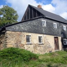
Wesenitzweg 18
580 m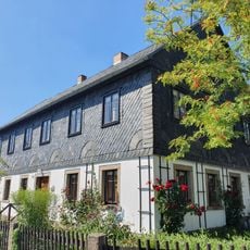
Wohnhaus und Granittrog sowie Viehtränke im Garten Wiesenstraße 18
851 m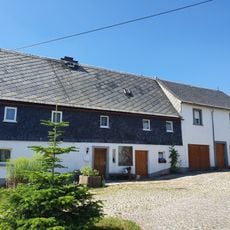
Wohnstallhaus und Granittrog Wiesenstraße 16
876 m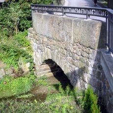
Arch bridge
868 m
Dresdener Straße 29
541 m
Wesenitzweg 31
513 m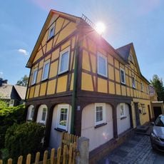
Wesenitzweg 13
838 m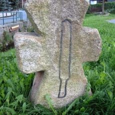
Mord- und Sühnekreuz (Ringenhain)
248 m
Hakenhof mit Wohnhaus und Scheune Talweg 5
62 m
Wesenitzweg 19
735 m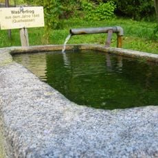
Granitwassertrog (Ringenhain)
827 m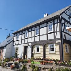
Wesenitzweg 14
855 m
Dresdener Straße 25
671 m
Dresdener Straße 21
740 mReviews
Visited this place? Tap the stars to rate it and share your experience / photos with the community! Try now! You can cancel it anytime.
Discover hidden gems everywhere you go!
From secret cafés to breathtaking viewpoints, skip the crowded tourist spots and find places that match your style. Our app makes it easy with voice search, smart filtering, route optimization, and insider tips from travelers worldwide. Download now for the complete mobile experience.

A unique approach to discovering new places❞
— Le Figaro
All the places worth exploring❞
— France Info
A tailor-made excursion in just a few clicks❞
— 20 Minutes