Grübenfeld am Rothbach E von Böbrach, Geotop in Landkreis Regen in Bavaria, Germany
Location: Böbrach
Elevation above the sea: 525 m
Length: 600 m
Width: 100 m
Website: http://www.umweltatlas.bayern.de/mapapps/resources/reports/geotope/generateBericht.pdf?additionallayerfieldvalue=276G012
Part of: Cultural heritage D-2-6944-0052 in Böbrach
GPS coordinates: 49.05289,13.05389
Latest update: October 25, 2025 16:36

Schnapsmuseum "Glass distillery"
1.7 km
Märchenalm
2 km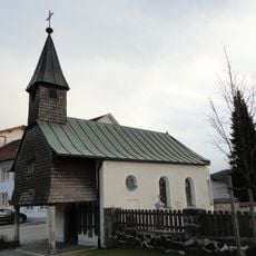
Katholische Friedhofskapelle St. Johannes der Täufer
3.6 km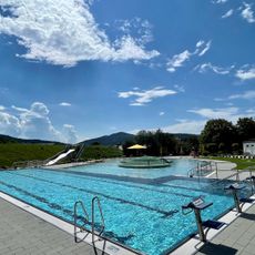
Silberberg-Freibad
4.1 km
St. Nikolaus
1.4 km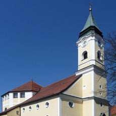
Katholische Pfarrkirche Mariä Himmelfahrt
3.7 km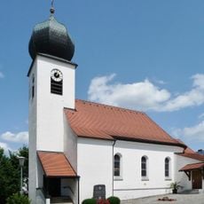
Herz Jesu
3 km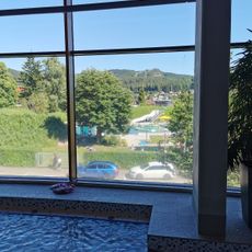
Silberberg-Hallenbad
4 km
Inschrift Mais 2 in Bodenmais
2.9 km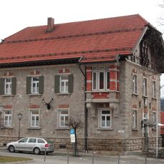
Forstamt Bodenmais
3.7 km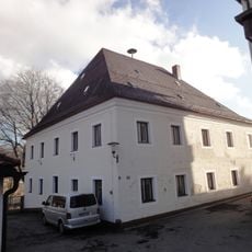
Bergamt
3.7 km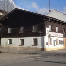
Wohnhaus
3.8 km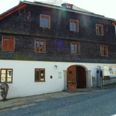
Ehemaliges Rathaus
3.8 km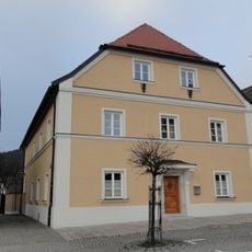
Pfarrhaus
3.7 km
Kriegerdenkmal Asbacher Straße 1 in Böbrach
1.4 km
Kruzifix
3.1 km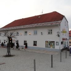
Wirtshaus
3.7 km
Giebelhaus
3.7 km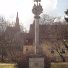
Dreifaltigkeitssäule
3.8 km
Glastor
3.6 km
Glasbläser Skulpturen
2.7 km
3 Männer
3.3 km
4 Jahreszeiten
3.7 km
Bayerische Weißwurstkönigin
4 km
Work of art
3.1 km
Scenic viewpoint
3.1 km
Scenic viewpoint
3.8 km
Aussichtsplattform des roten Pfads der Ameisenstraße
3.4 kmReviews
Visited this place? Tap the stars to rate it and share your experience / photos with the community! Try now! You can cancel it anytime.
Discover hidden gems everywhere you go!
From secret cafés to breathtaking viewpoints, skip the crowded tourist spots and find places that match your style. Our app makes it easy with voice search, smart filtering, route optimization, and insider tips from travelers worldwide. Download now for the complete mobile experience.

A unique approach to discovering new places❞
— Le Figaro
All the places worth exploring❞
— France Info
A tailor-made excursion in just a few clicks❞
— 20 Minutes