Eisener Hut SE von Pfaffenreuth, Geotop in Landkreis Tirschenreuth in Bavaria, Germany
Location: Leonberg
Elevation above the sea: 595 m
Length: 50 m
Width: 20 m
Website: http://www.umweltatlas.bayern.de/mapapps/resources/reports/geotope/generateBericht.pdf?additionallayerfieldvalue=377G004
GPS coordinates: 49.95979,12.33685
Latest update: October 25, 2025 14:12
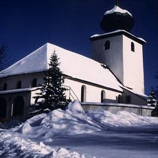
St. Andreas (Wernersreuth)
2.7 km
Stiftlandmuseum
5.2 km
All Saints Church (Leonberg)
1.5 km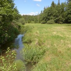
Wondreb-Aue
4.3 km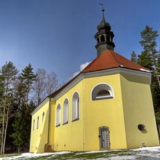
All Saints Church
1.4 km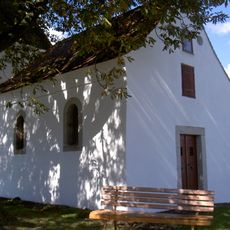
Kapelle heiliger Florian Kondrau
5 km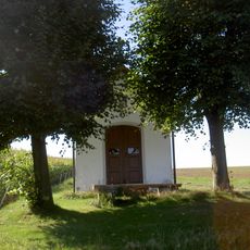
Feldkapelle Pfaffenreuth
941 m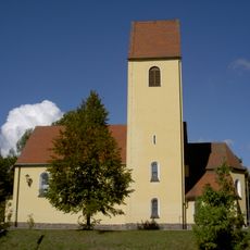
St. Joseph
5 km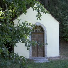
Steinmühlkapelle
4.5 km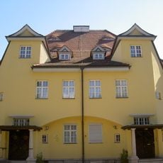
Industriellenvilla Mitterteicher Straße 31 Waldsassen
5.2 km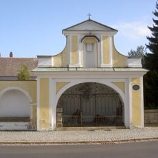
Klostermauerrest mit Blendarkaden und Ölberggruppe Waldsassen
5 km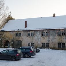
Ehemalige Mühle
5.2 km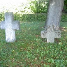
Zwei Steinkreuze Kondrau
5 km
Kriegerdenkmal
5 km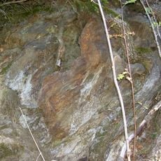
Gneisaufschluss S von Steinmühle
4.5 km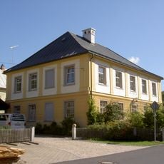
Ehemaliges Königlich-Bayerisches Hüttenwerk Königshütte
3.8 km
Kriegerdenkmal Leonberg 24 in Leonberg (Oberpfalz)
3.9 km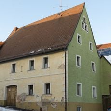
Wohnhaus
5.2 km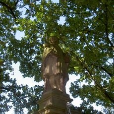
Nepomukstatue an der Wondrebbrücke Waldsassen
5 km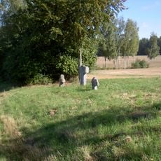
Drei Steinkreuze Pfaffenreuth
1.9 km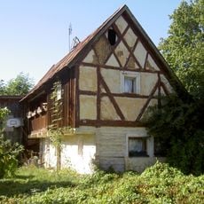
Haus Nummer 24 Pfaffenreuth
1.2 km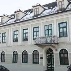
Wohngebäude, Herrenhaus, Stadtschreiberhaus
5.2 km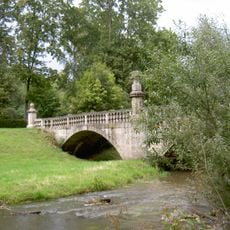
Klostergarten Waldsassen
5 km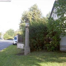
Toskanische Säule Pfaffenreuther Straße 1a Waldsassen
4.8 km
Felsen am alten Schloss
3.9 km
Scenic viewpoint
3.8 km
Scenic viewpoint
3.7 km
Blickpunkt Motzersreuth
3.7 kmReviews
Visited this place? Tap the stars to rate it and share your experience / photos with the community! Try now! You can cancel it anytime.
Discover hidden gems everywhere you go!
From secret cafés to breathtaking viewpoints, skip the crowded tourist spots and find places that match your style. Our app makes it easy with voice search, smart filtering, route optimization, and insider tips from travelers worldwide. Download now for the complete mobile experience.

A unique approach to discovering new places❞
— Le Figaro
All the places worth exploring❞
— France Info
A tailor-made excursion in just a few clicks❞
— 20 Minutes