
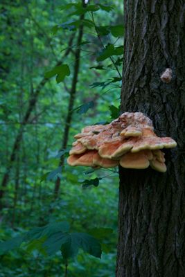
Sumpfgebiet im Ölbachtal, nature reserve in Germany
Location: Leverkusen
Inception: 1980
GPS coordinates: 51.08485,7.05024
Latest update: March 6, 2025 12:55
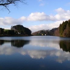
Diepentaler Talsperre
1.9 km
St. Remigius
3.8 km
Annakapelle
2.1 km
St. Maurinus
2.2 km
Villa Weyermann
3.8 km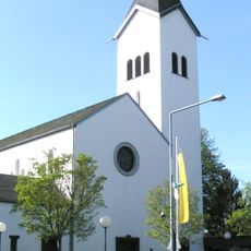
St. Maria Rosenkranzkönigin
2.8 km
St. Johannes Baptist
3.4 km
Evangelische Kirche Leichlingen
3.6 km
Tillmanns-Park
1.7 km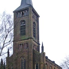
Bielertkirche
3.8 km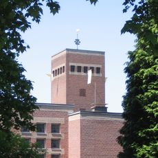
Heilige Drei Könige
1.5 km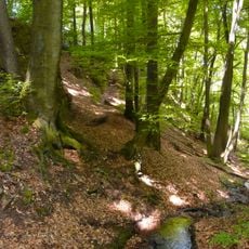
Wupper und Wupperhänge mit Seitensiefen
2.3 km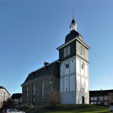
Evangelische Kirche
1.5 km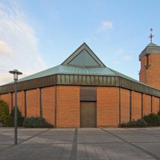
St. Franziskus
3.6 km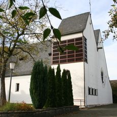
St. Engelbert
1.2 km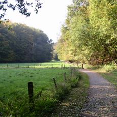
Weltersbachtal
1.9 km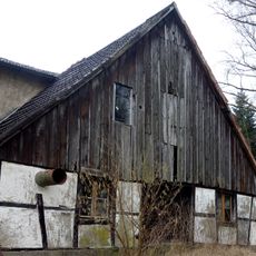
Grunder Mühle
828 m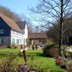
Dürscheider Mühle
3 km
Evangelische Kirche (Quettingen)
3.1 km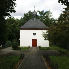
Kreuzkapelle
2.2 km
Gemeindezentrum Humboldtstraße
3.9 km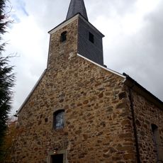
Alte Kirche am Johannisberg
2.8 km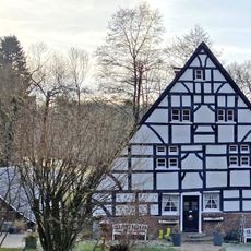
Grünscheider Mühle
2.6 km
Biesenbacher Mühle
1.8 km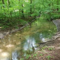
Wiembach-Aue
2.1 km
Eichen-Hainbuchenwald in der Wupperschleife
3.1 km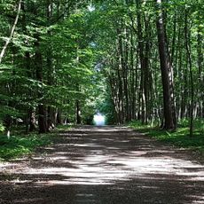
Landschaftsschutzgebiet Bürgerbusch
3.7 km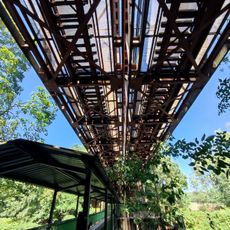
Eisenbahnbrücke über die Wupper bei Opladen
2.8 kmReviews
Visited this place? Tap the stars to rate it and share your experience / photos with the community! Try now! You can cancel it anytime.
Discover hidden gems everywhere you go!
From secret cafés to breathtaking viewpoints, skip the crowded tourist spots and find places that match your style. Our app makes it easy with voice search, smart filtering, route optimization, and insider tips from travelers worldwide. Download now for the complete mobile experience.

A unique approach to discovering new places❞
— Le Figaro
All the places worth exploring❞
— France Info
A tailor-made excursion in just a few clicks❞
— 20 Minutes