
LSG-Westlicher Rand der Hohen Mark, protected area in Germany
Location: Dorsten
Inception: 1988
GPS coordinates: 51.76461,7.03955
Latest update: March 27, 2025 01:15
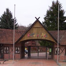
Ketteler Hof
6.5 km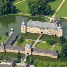
Schloss Lembeck
3.6 km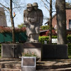
Ehrenmal Haltern Lippramsdorf
6.5 km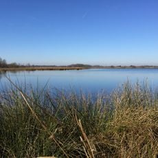
Weißes Venn
7.9 km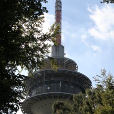
Fernmeldeturm Haltern
5.4 km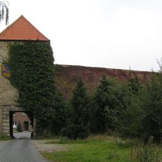
Haus Ostendorf
7.7 km
Sts. Simon and Jude
7.5 km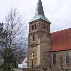
St. Matthäus
5.1 km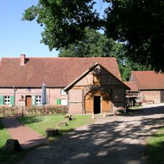
Heimathaus Lippramsdorf
5.5 km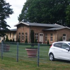
Lippramsdorf railway station
7.4 km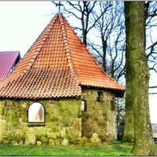
Tannenberg-Kapelle
5.7 km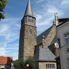
St. Antonius (Reken)
2.4 km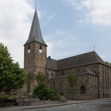
St. Laurentius
2.8 km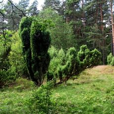
Hülstenholter Wacholderheide
4.5 km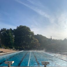
Rekener Frei- und Hallenbad
7.1 km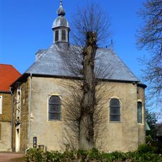
Michaeliskapelle
4.6 km
Wildpark Frankenhof
5.1 km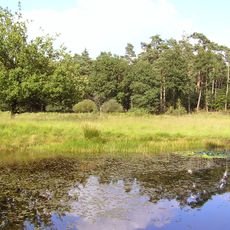
Witte Berge und Deutener Moore
7.8 km
Wegekapelle Oberdorf (Reken)
7.6 km
Ehem. Gastwirtschaft Sicking
4.3 km
Altes Feuerwehrgerätehaus
7.5 km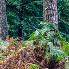
Hohemarkenbusch
7.9 km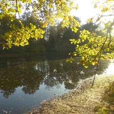
Kranenmeer
6.6 km
Kranenmeer
6.4 km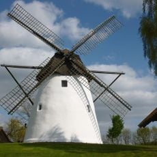
Windmühle Reken
7.6 km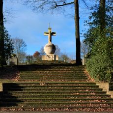
Kriegerehrenmal Klein Reken
2.8 km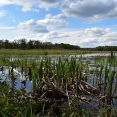
Bachsystem des Wienbaches
6 km
Weisses Haus
7.5 kmReviews
Visited this place? Tap the stars to rate it and share your experience / photos with the community! Try now! You can cancel it anytime.
Discover hidden gems everywhere you go!
From secret cafés to breathtaking viewpoints, skip the crowded tourist spots and find places that match your style. Our app makes it easy with voice search, smart filtering, route optimization, and insider tips from travelers worldwide. Download now for the complete mobile experience.

A unique approach to discovering new places❞
— Le Figaro
All the places worth exploring❞
— France Info
A tailor-made excursion in just a few clicks❞
— 20 Minutes