
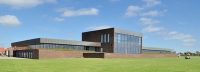
Town hall of Ringkøbing
Location: Ringkøbing-Skjern Municipality
Accessibility: Rolstoeltoegankelijk
GPS coordinates: 56.08651,8.24281
Latest update: March 22, 2025 01:35
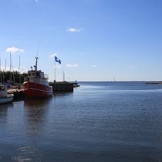
Ringkøbing Fjord
9.6 km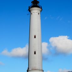
Lyngvig Lighthouse
9.6 km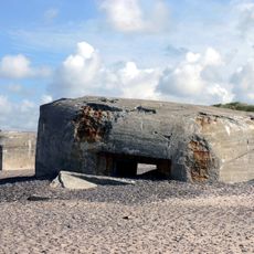
Atlantic wall in Søndervig, Denmark
9 km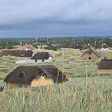
Vedersø Klit
20.1 km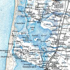
Stadil Fjord
8.5 km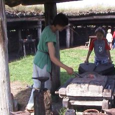
Ringkøbing-Skjern Museum
353 m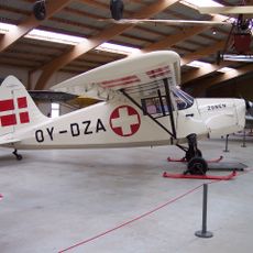
Danmarks Flymuseum
12.3 km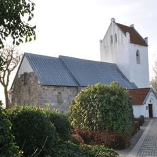
Vedersø Church
16.6 km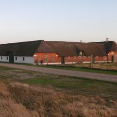
Abelines Gård
16.6 km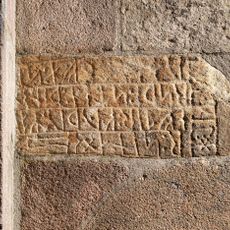
Danish Runic Inscription 48
18.4 km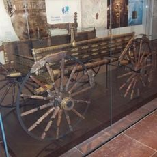
Dejbjerg wagon
14.6 km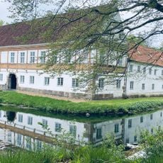
Brejninggaard
17.1 km
Naturkraft
1.7 km
Vonå
4.5 km
Lalandia
8.5 km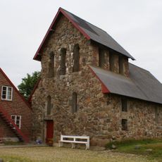
Hellig Kors Kloster
14.3 km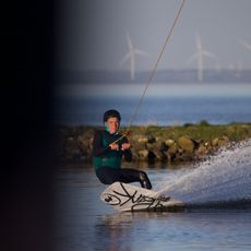
Kabelpark® Hvide Sande
10.3 km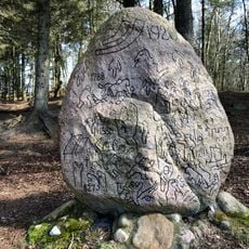
Historiens Sten
19.7 km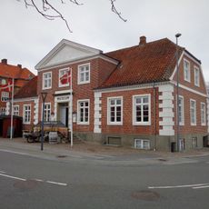
Ringkøbing Museum
345 m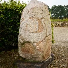
Stabystenen
19.5 km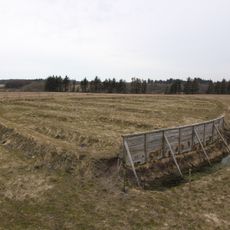
Lyngsmose Fortification
9.6 km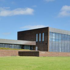
Fuglsand
20.5 km
Ganer Å
20.2 km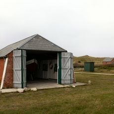
Haurvig Redningsstation
16.7 km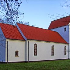
Lem Church
11.1 km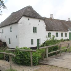
Bundsbæk Mølle
17.1 km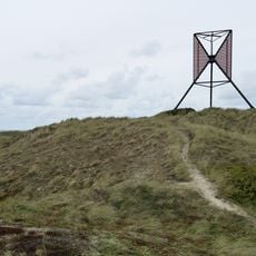
Åregab Båke
12.8 km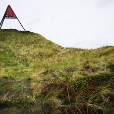
Haurvig Båke
19.4 kmVisited this place? Tap the stars to rate it and share your experience / photos with the community! Try now! You can cancel it anytime.
Discover hidden gems everywhere you go!
From secret cafés to breathtaking viewpoints, skip the crowded tourist spots and find places that match your style. Our app makes it easy with voice search, smart filtering, route optimization, and insider tips from travelers worldwide. Download now for the complete mobile experience.

A unique approach to discovering new places❞
— Le Figaro
All the places worth exploring❞
— France Info
A tailor-made excursion in just a few clicks❞
— 20 Minutes