
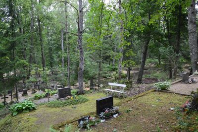
Kambja Cemetery, Friedhof in Estland
Location: Kambja Rural Municipality
Website: https://register.muinas.ee/public.php?menuID=monument&action=view&id=4239
GPS coordinates: 58.23587,26.70578
Latest update: September 25, 2025 07:39
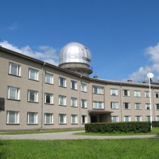
Tartu Observatory
14.4 km
Ihaste
13.8 km
Luke Manor
7.7 km
Tammelinn
13.9 km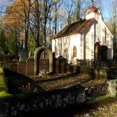
Ropka
13 km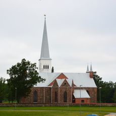
Kambja Church
332 m
Ropka manor
13.3 km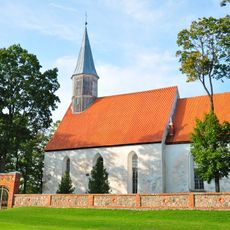
Nõo Church
11 km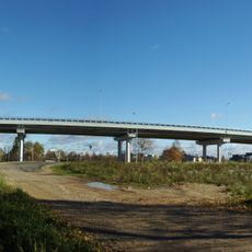
Variku
12.7 km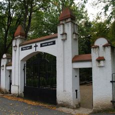
Pauluse Cemetery
13.7 km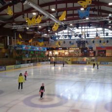
Lõunakeskus Ice Hall
13.6 km
Nõo Library
11.6 km
Parc Forselius
13.9 km
Sanatorium Park
14 km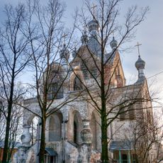
St Alexander's Church, Tartu
14.4 km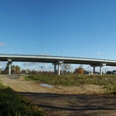
Variku viadukt
12.5 km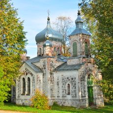
Nõo orthodox church
10.4 km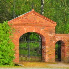
Nõo Cemetery
10 km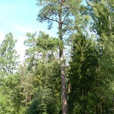
Kambja ristimänd
5.6 km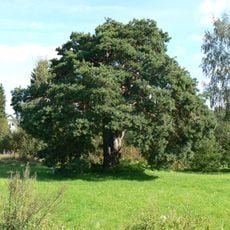
Kambja mänd
697 m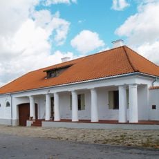
Uhti kõrts
6 km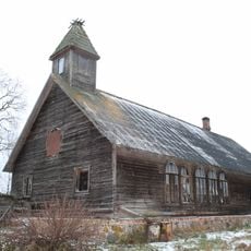
Krüüdneri abikirik
13.5 km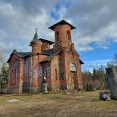
Maaritsa Orthodox Church
10.3 km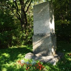
Reola lahingu mälestussammas
5.5 km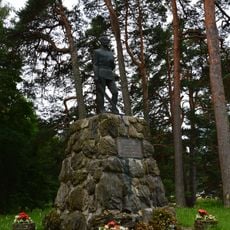
Monument to the War of Independence in Kambja
230 m
Kuuste Raamatukogu
4.9 km
Luke Library
9.9 km
Vana-Kuuste mõisa peahoone
4.9 kmVisited this place? Tap the stars to rate it and share your experience / photos with the community! Try now! You can cancel it anytime.
Discover hidden gems everywhere you go!
From secret cafés to breathtaking viewpoints, skip the crowded tourist spots and find places that match your style. Our app makes it easy with voice search, smart filtering, route optimization, and insider tips from travelers worldwide. Download now for the complete mobile experience.

A unique approach to discovering new places❞
— Le Figaro
All the places worth exploring❞
— France Info
A tailor-made excursion in just a few clicks❞
— 20 Minutes