Selja Hills, hills in Estonia
Location: Kehtna Rural Municipality
GPS coordinates: 58.72178,25.04611
Latest update: March 14, 2025 21:39
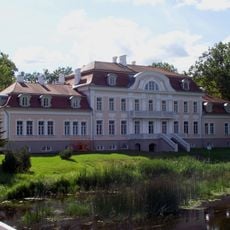
Laupa Manor
19.4 km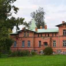
Kolu manor
15.4 km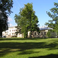
Käru Manor
12.4 km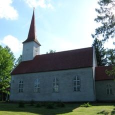
Käru Church
13.2 km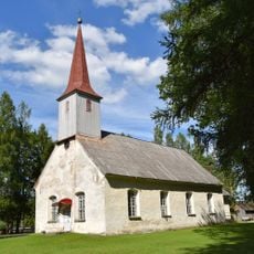
Vändra Church
8 km
Mädara linnus
10.9 km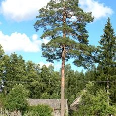
Männiku mänd
12.1 km
Vana-Vändra mõisa kalmistu
8.2 km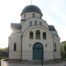
Türi Orthodox Church
23.4 km
Lelle kalmistu
15.2 km
Käru Cemetery
13.5 km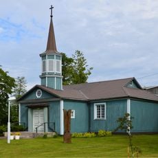
Järvakandi Church
14.7 km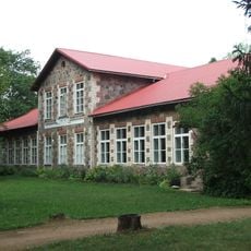
Järvakandi ministeeriumikooli hoone
23.5 km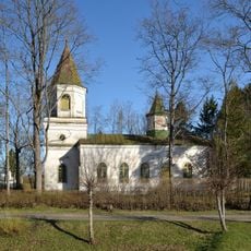
Lelle Orthodox Church
15.7 km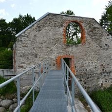
Jändja vesiveski
16.3 km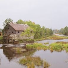
Suurejõe vesiveski
12.1 km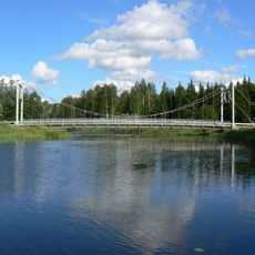
Kurgja maanteesild
13.8 km
Sohlu mänd
15.4 km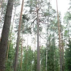
Pidapa vana mänd
6.8 km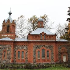
Kergu orthodox church
17.3 km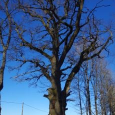
Ohekatku Oak
21.8 km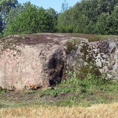
Vaharu rändrahn
19.8 km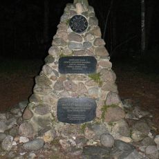
Memorial to all forest brothers
19 km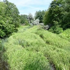
Särevere Reservoir
23 km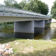
Suurejõe maanteesild
12.1 km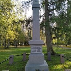
Vändra Vabadussõja mälestussammas
8 km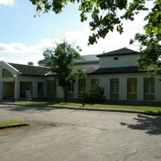
Eidapere Library
7 km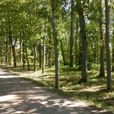
Sikana Park
18.9 kmReviews
Visited this place? Tap the stars to rate it and share your experience / photos with the community! Try now! You can cancel it anytime.
Discover hidden gems everywhere you go!
From secret cafés to breathtaking viewpoints, skip the crowded tourist spots and find places that match your style. Our app makes it easy with voice search, smart filtering, route optimization, and insider tips from travelers worldwide. Download now for the complete mobile experience.

A unique approach to discovering new places❞
— Le Figaro
All the places worth exploring❞
— France Info
A tailor-made excursion in just a few clicks❞
— 20 Minutes