
Hiking trail of the Piusa River, hiking trail in Estonia
Location: Setomaa Rural Municipality
GPS coordinates: 57.79420,27.36330
Latest update: March 12, 2025 06:38
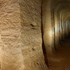
Piusa Caves
8.1 km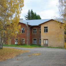
Obinitsa School-Church
5.3 km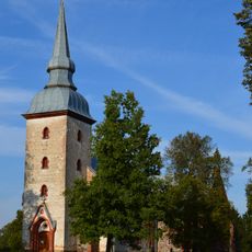
Vastseliina Church
7.8 km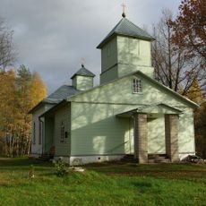
Obinitsa Church of Transfiguration of Our Lord
5.2 km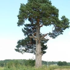
Tsirgu pine
5.3 km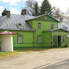
Hal'as Kunn Art Gallery
4.8 km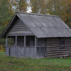
Tobrova tsässon
6.4 km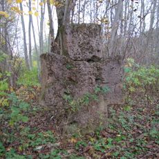
Viro stone cross
6.8 km
Küllätüvä tsässon
6.3 km
Obinitsa Cemetery
5.3 km
Obinitsa tsässon
5.4 km
Obinitsa Village Centre
5.3 km
Luikjärve farm
6.2 km
Härma Alumine müür
319 m
Serga tsässon
8.1 km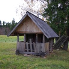
Rokina tsässon
4.7 km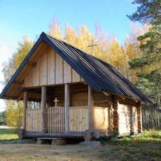
Härmä tsässon
1.3 km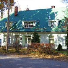
Meremäe Town Hall
7.6 km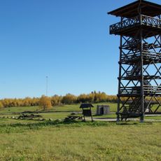
Meremägi viewing tower
7.1 km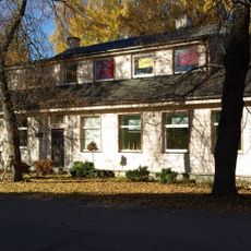
Meremäe Youth Centre
7.5 km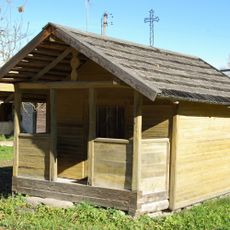
Uusvada tsässon
7.6 km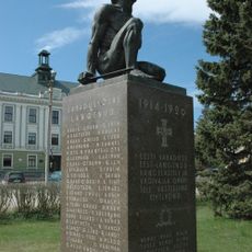
Vastseliina Vabadussõja mälestussammas
8.4 km
Meremäe Park of Mourning
7.6 km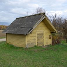
Ulaskova tsässon
5.6 km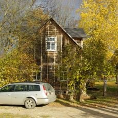
Obinitsa Community Centre
4.9 km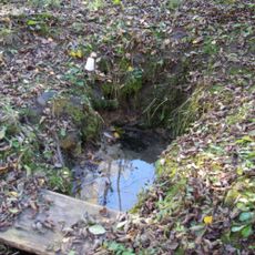
Tepia Sacrificial Spring
7.9 km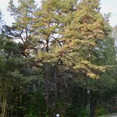
Kapera mänd
5.5 km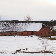
Piiri kõrtsihoone
7.2 kmReviews
Visited this place? Tap the stars to rate it and share your experience / photos with the community! Try now! You can cancel it anytime.
Discover hidden gems everywhere you go!
From secret cafés to breathtaking viewpoints, skip the crowded tourist spots and find places that match your style. Our app makes it easy with voice search, smart filtering, route optimization, and insider tips from travelers worldwide. Download now for the complete mobile experience.

A unique approach to discovering new places❞
— Le Figaro
All the places worth exploring❞
— France Info
A tailor-made excursion in just a few clicks❞
— 20 Minutes