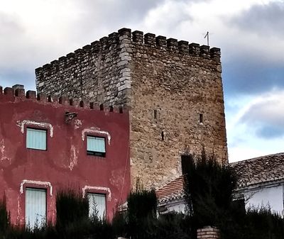
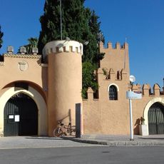
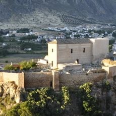
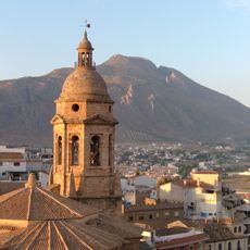
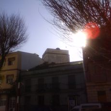
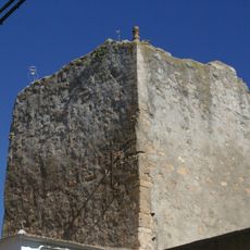
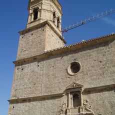
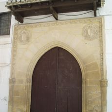
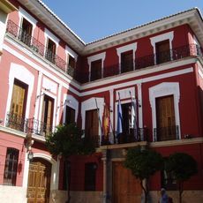
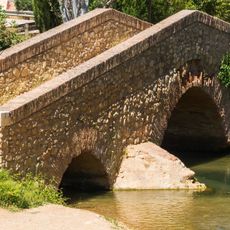
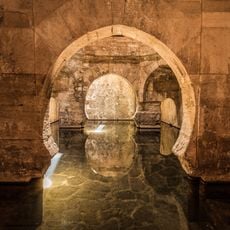
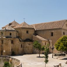
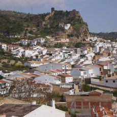
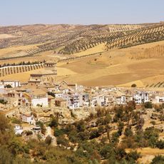
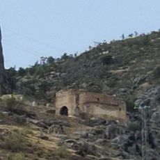
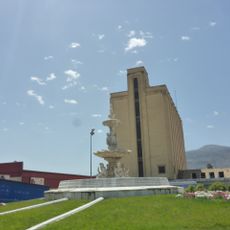
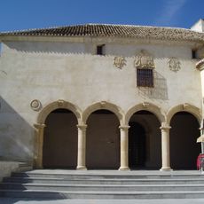
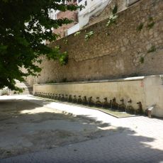
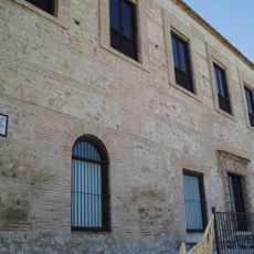
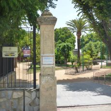
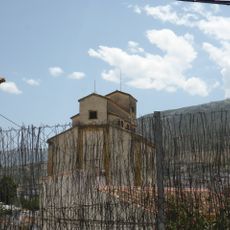
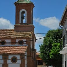
Salar, municipality of Spain
Location: Province of Granada
Capital city: Salar
Elevation above the sea: 544 m
Part of: districte notarial de Loja, Mancomunitat de Municipis «Ribera Baja del Genil», Comarca de Loja
Shares border with: Alhama de Granada, Loja, Huétor Tájar, Moraleda de Zafayona
Website: http://salar.es
GPS coordinates: 37.15222,-4.06694
Latest update: March 4, 2025 02:05
Castillo de Láchar
21.1 km
Alcazaba
7.7 km
Iglesia Mayor de la Encarnación
7.7 km
Eiffel Bridge, Láchar
21.1 km
Iglesia de Nuestra Señora de la Encarnación
18 km
Castillo de Alhama de Granada
18 km
Castillo de Tajarja
17.2 km
Castillo de Huétor
5 km
Torre de Clementino
13.1 km
Sierra Martilla
13.9 km
Iglesia de San Gabriel
7.7 km
Convento de Santa Clara
7.2 km
Palacio de Narváez
7.5 km
Puente en Riofrío
12.4 km
Baños árabes de Alhama de Granada
16.7 km
Iglesia de Nuestra Señora del Carmen
18.1 km
Castillo de Zagra
14.5 km
Torre de la Martilla
14.4 km
Centro Histórico de Alhama de Granada
18.1 km
Ermita del Calvario
7.9 km
Silo of Loja II
5.8 km
Pósito
7.6 km
Fuente de la Mora
8 km
Museo Histórico Municipal de Loja
9.3 km
Jardines de Narváez
10.4 km
Silo of Loja
7.8 km
Ermita de Nuestro Padre Jesús Nazareno
8.3 km
Iglesia de la Inmaculada Concepción
20.8 kmReviews
Visited this place? Tap the stars to rate it and share your experience / photos with the community! Try now! You can cancel it anytime.
Discover hidden gems everywhere you go!
From secret cafés to breathtaking viewpoints, skip the crowded tourist spots and find places that match your style. Our app makes it easy with voice search, smart filtering, route optimization, and insider tips from travelers worldwide. Download now for the complete mobile experience.
A unique approach to discovering new places❞
— Le Figaro
All the places worth exploring❞
— France Info
A tailor-made excursion in just a few clicks❞
— 20 Minutes