
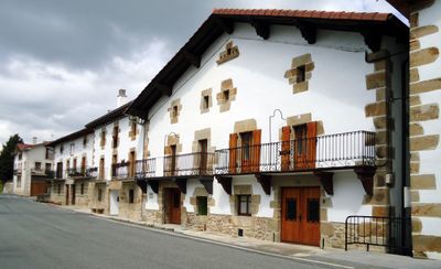
Iturmendi, human settlement in Spain
Location: Navarre
Location: Merindade of Pamplona
Location: Sakana
Capital city: Iturmendi
Elevation above the sea: 528 m
Part of: Mancomunitat de Sakana, Mancomunitat de Serveis Socials de la Zona Básica de Salud de Etxarri-Aranatz, Basque-speaking zone of Navarre
Shares border with: Bakaiku, Urdiain, Ataun
GPS coordinates: 42.88944,-2.11861
Latest update: March 26, 2025 15:20
Urbasa-Andia nature park
2.8 km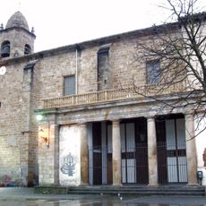
Church of Nuestra Señora de la Asunción, Alsasua
4.1 km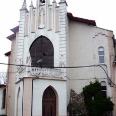
Church of the Capuchinos, Alsasua
4.8 km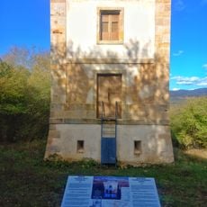
Torre de Basaluze
3.9 km
San Pedro, Altsasu
3.9 km
Fagamendi
5.5 km
Basomutur (Altsasu)
3.9 km
Santa Marina baseliza
2.1 km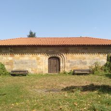
San Juan, Altsasu
4.8 km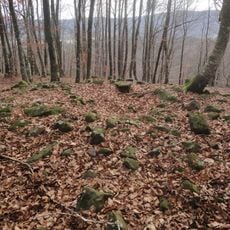
Beitzeta
4.4 km
Aldagoitia (Altsasu)
3.9 km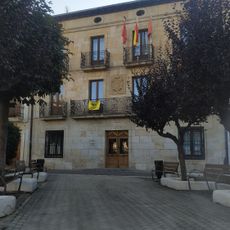
Town Hall of Altsasu/Alsasua
4.1 km
Lavadero
4.1 km
Calle Zelai 2
4.2 km
Gure-Etxea
4.1 km
Plaza de los Fueros 6
4.1 km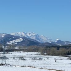
Tontorsoro (Altsasu)
3.1 km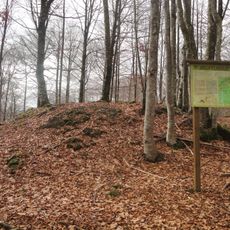
Iruiturrieta
4.8 km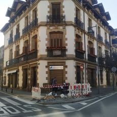
Calle Zelai 1
4.2 km
Santaluziasakan (Altsasu)
4.1 km
Calle Zelai 28
4.3 km
Sociedad Zubeztia
4.1 km
Plaza de los Fueros 8
4.1 km
Plaza de los Fueros 9
4 km
Calle Santa Cruz 22-24
4 km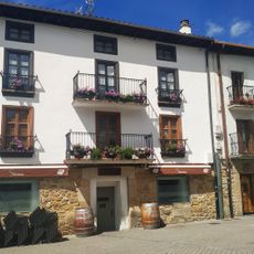
Plaza de los Fueros 20
4.1 km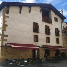
Plaza de los Fueros 21
4.1 km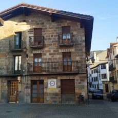
Plaza de los Fueros 17
4.1 kmVisited this place? Tap the stars to rate it and share your experience / photos with the community! Try now! You can cancel it anytime.
Discover hidden gems everywhere you go!
From secret cafés to breathtaking viewpoints, skip the crowded tourist spots and find places that match your style. Our app makes it easy with voice search, smart filtering, route optimization, and insider tips from travelers worldwide. Download now for the complete mobile experience.

A unique approach to discovering new places❞
— Le Figaro
All the places worth exploring❞
— France Info
A tailor-made excursion in just a few clicks❞
— 20 Minutes