
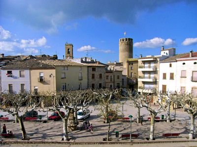
Verdú, municipality of Spain
Location: Urgell
Capital city: Verdú
Elevation above the sea: 434 m
Shares border with: Tàrrega, Granyena de Segarra, Montornès de Segarra, Guimerà, Ciutadilla, Nalec, Sant Martí de Riucorb, Preixana, Vilagrassa
Website: http://verdu.cat
GPS coordinates: 41.61278,1.14444
Latest update: March 27, 2025 12:49
Santa Maria de la Bovera
4.9 km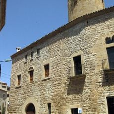
Castell de Verdú
216 m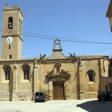
Church of Saint Mary (Verdú)
198 m
Cal Prim
359 m
Cal Talaveró
177 m
Sant Pere Claver de Verdú
276 m
Muralla de Verdú
181 m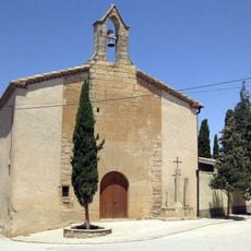
Sant Miquel de Verdú
601 m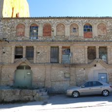
Sindicat Agrícola de Ciutadilla
5.7 km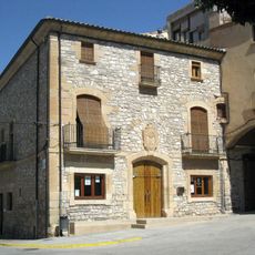
Town Hall of Verdú
292 m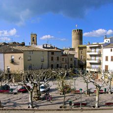
Plaça Major
293 m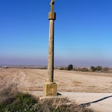
Creu de terme de Gratapalles
1.7 km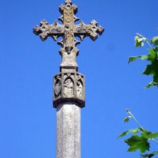
Creu de terme (Verdú)
340 m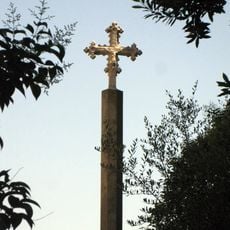
Creu de terme de les Eres (Verdú)
178 m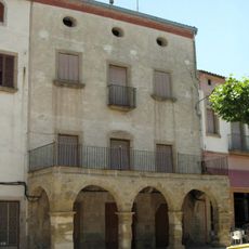
Cal Gabarró
279 m
Cal Ros
215 m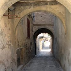
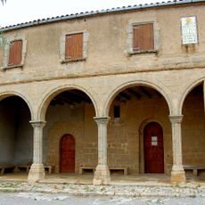
Carrers coberts de Verdú
281 m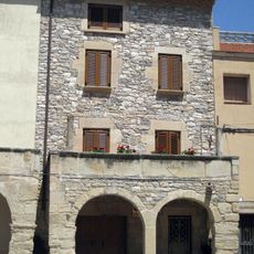
Can Castellà
266 m
Cal Torné
306 m
Casa Arquebisbe Terés
368 m
Cal Riera
329 m
Cal Quartel (Verdú)
351 m
Molí del Corretger
5.2 km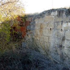
Molí del Nicasi
1.3 km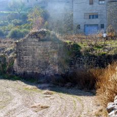
Molí del Carreton
63 m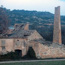
Molí del Valls
5.4 km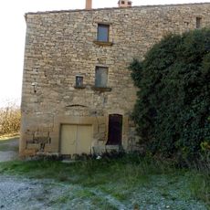
Molí de Poblet
104 m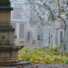
Font de la plaça Major de Verdú
295 mReviews
Visited this place? Tap the stars to rate it and share your experience / photos with the community! Try now! You can cancel it anytime.
Discover hidden gems everywhere you go!
From secret cafés to breathtaking viewpoints, skip the crowded tourist spots and find places that match your style. Our app makes it easy with voice search, smart filtering, route optimization, and insider tips from travelers worldwide. Download now for the complete mobile experience.

A unique approach to discovering new places❞
— Le Figaro
All the places worth exploring❞
— France Info
A tailor-made excursion in just a few clicks❞
— 20 Minutes