
Ceuró, human settlement in Castellar de la Ribera, Solsonès, Comarques Centrals, Spain
Location: Castelló de la Ribera
Elevation above the sea: 622.2 m
GPS coordinates: 42.01939,1.37367
Latest update: March 22, 2025 01:32

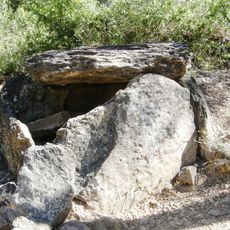
Necròpolis de Ceuró
723 m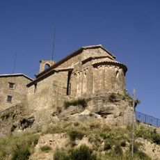
Sant Julià de Ceuró
18 m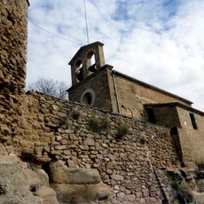
Castell de Ceuró
45 m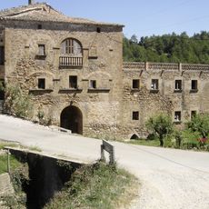
Molí de Querol
2.3 km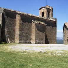
Sant Pere de Castellar
3.5 km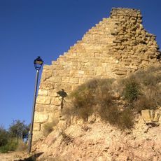
Castell d'Altés
4.5 km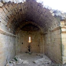
Santa Magdalena de Vilaprinyó
2.4 km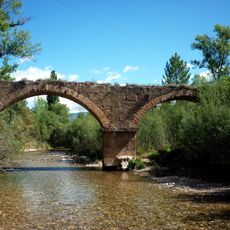
Pont del Molí d'Ingla
4.2 km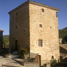
Torres d'Ogern
2.8 km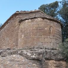
Santa Magdalena del Mas Cerdà
2.3 km
Cal Rossinyol
3.4 km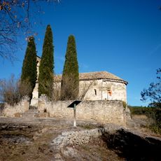
Sant Sadurní de la Salsa
3.1 km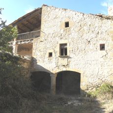
Comardons
3 km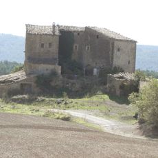
El Llor
3.4 km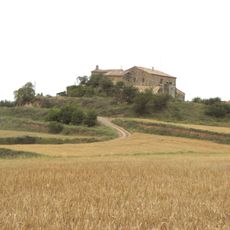
Vilaprinyó
2.2 km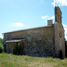
Sant Joan de Ginestar
3.4 km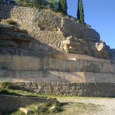
Castell i muralla de Castellar
3.5 km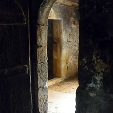
Santa Magdalena de les Tàpies
1.8 km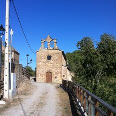
Sant Pere d'Altés
4.4 km
Mare de Déu de Savila
1 km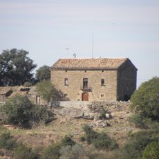
Vilamosa
2.8 km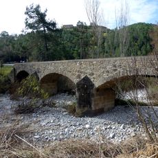
Pont del Molí de Querol
2.3 km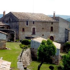
Purgimon
3.7 km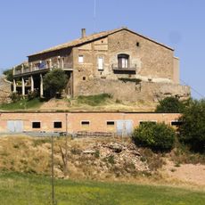
Ginestar (Castellar de la Ribera)
2.2 km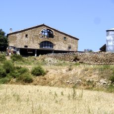
La Vila de Perdiguers
1.2 km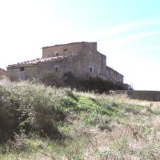
Torremorell
4.3 km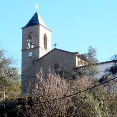
Sant Sadurní d'Ogern
2.8 km
Sant Mateu de Comardons
3 kmReviews
Visited this place? Tap the stars to rate it and share your experience / photos with the community! Try now! You can cancel it anytime.
Discover hidden gems everywhere you go!
From secret cafés to breathtaking viewpoints, skip the crowded tourist spots and find places that match your style. Our app makes it easy with voice search, smart filtering, route optimization, and insider tips from travelers worldwide. Download now for the complete mobile experience.

A unique approach to discovering new places❞
— Le Figaro
All the places worth exploring❞
— France Info
A tailor-made excursion in just a few clicks❞
— 20 Minutes