
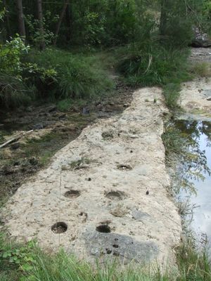
Jaciment de la Riera de Castellcir, archaeological site in Castellcir, Spain
Location: Castellcir
Elevation above the sea: 676 m
GPS coordinates: 41.76321,2.16159
Latest update: March 2, 2025 20:29
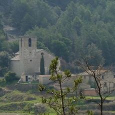
Sant Andreu de Castellcir
354 m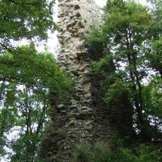
La Torrassa dels Moros
797 m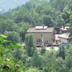
Mont-ras
802 m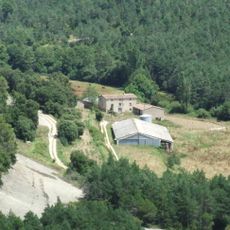
Ca l'Antoja
210 m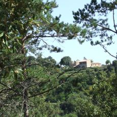
El Puig (Castellcir)
690 m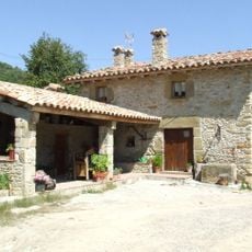
Cal Jaumet (Castellcir)
403 m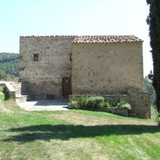
La Codina
758 m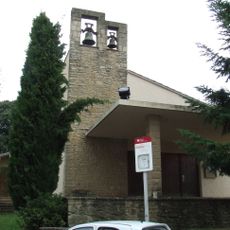
Santa Maria de Castellcir
984 m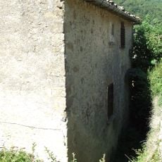
La Rectoria Vella (Castellcir)
371 m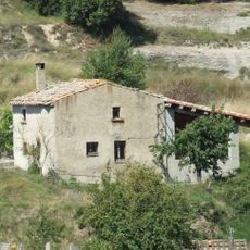
Can Gregori (Castellcir)
427 m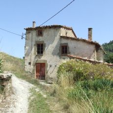
La Vileta (Castellcir)
772 m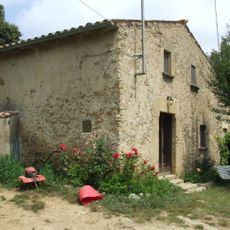
Cal Manel (Castellcir)
845 m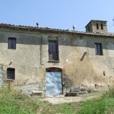
Cal Tomàs (Castellcir)
368 m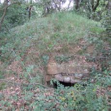
Poua de la Torrassa dels Moros
752 m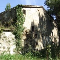
Molí del Bosc
869 m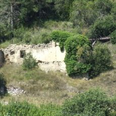
Cal Quirze (Castellcir)
499 m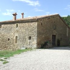
La Roca (Castellcir)
759 m
Poua del Molí del Bosc
777 m
El Local
210 m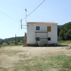
La Casa Nova de la Vileta
883 m
Cal Bartomeu
1 km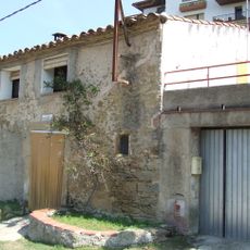
Cal Pujadetes
210 m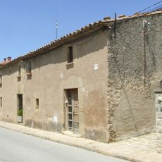
Cal Salvador
213 m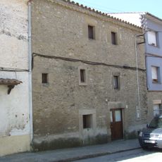
Cal Martí
1.1 km
Cal Solanes
213 m
Cal Carreter
1 km
Cal Xapano
1 km
La Rompuda
841 mReviews
Visited this place? Tap the stars to rate it and share your experience / photos with the community! Try now! You can cancel it anytime.
Discover hidden gems everywhere you go!
From secret cafés to breathtaking viewpoints, skip the crowded tourist spots and find places that match your style. Our app makes it easy with voice search, smart filtering, route optimization, and insider tips from travelers worldwide. Download now for the complete mobile experience.

A unique approach to discovering new places❞
— Le Figaro
All the places worth exploring❞
— France Info
A tailor-made excursion in just a few clicks❞
— 20 Minutes