
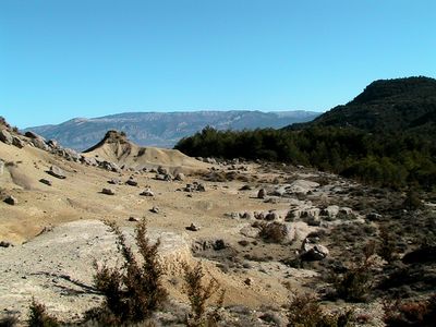
L'Era de Pedra, indret de Gavet de la Conca
Location: Gavet de la Conca
Elevation above the sea: 1,100 m
GPS coordinates: 42.05603,1.01369
Latest update: March 20, 2025 04:54
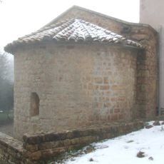
Mare de Déu de Bonrepòs
3.7 km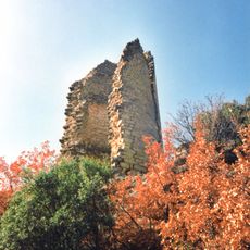
Castell de Sant Gervàs
4.1 km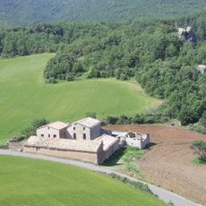
L'Hostal Roig
2.1 km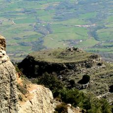
Castell de Toló
1.5 km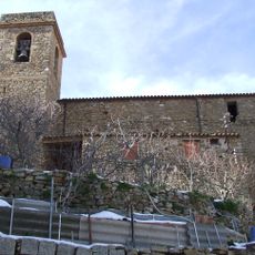
Sant Salvador de Toló
3.2 km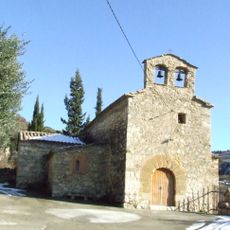
Sant Miquel de la Vall
4.5 km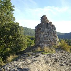
Castell de Montllor
2.3 km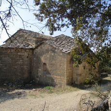
Sant Gervàs del Castelló Sobirà
3.9 km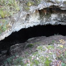
Cova Negra de Mata-solana
3.7 km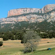
Roca Alta
3.9 km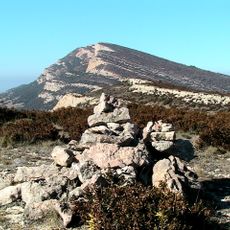
Puig del Camí Ramader
5.2 km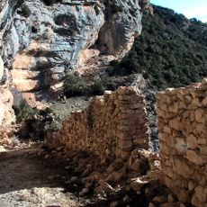
Castell de la Fabregada
5 km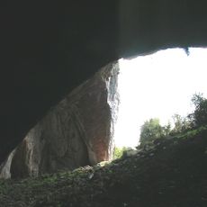
Forat del Gel
5.7 km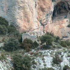
Sant Sadurní de la Fabregada
4.9 km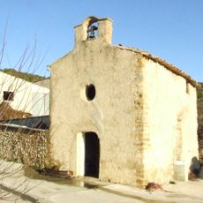
Sant Roc de Mata-solana
1.9 km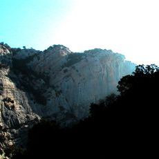
Cinglo de Desferrador
2.7 km
Casa pairal
3.1 km
Tossal del Vigatà
1 km
Sant Jaume de Merea
4.2 km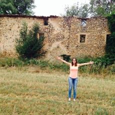
Molí de l'Abellot
4.8 km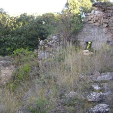
Santa Anna de l'Hostal Roig
2.3 km
Sant Joan Baptista de Perolet
3.1 km
Cinglo de Currolda
1.1 km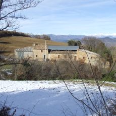
Cal Roi
4 km
Feixes de la Roca Alta
3.2 km
Roca Roja
5.2 km
La Feixa
1.9 km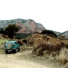
Cabana del Pubill
5.2 kmReviews
Visited this place? Tap the stars to rate it and share your experience / photos with the community! Try now! You can cancel it anytime.
Discover hidden gems everywhere you go!
From secret cafés to breathtaking viewpoints, skip the crowded tourist spots and find places that match your style. Our app makes it easy with voice search, smart filtering, route optimization, and insider tips from travelers worldwide. Download now for the complete mobile experience.

A unique approach to discovering new places❞
— Le Figaro
All the places worth exploring❞
— France Info
A tailor-made excursion in just a few clicks❞
— 20 Minutes