
Muntanyeta de Comursí, mountain in Catalonia
Location: La Pobla de Segur
Elevation above the sea: 987.3 m
GPS coordinates: 42.28613,1.00940
Latest update: April 8, 2025 12:07
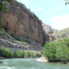
Congost de Collegats
2.3 km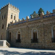
Torre Mauri
5.2 km
Sant Miquel del Pui
5.1 km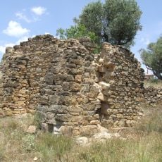
Santa Llúcia de Claverol
5.2 km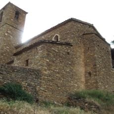
Sant Cristòfol de Claverol
4.9 km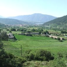
Lo Pla (la Pobla de Segur)
5.3 km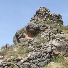
Castell d'Hortoneda
5.3 km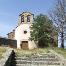
Santa Maria d'Hortoneda
5.3 km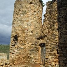
Castell de Claverol
4.9 km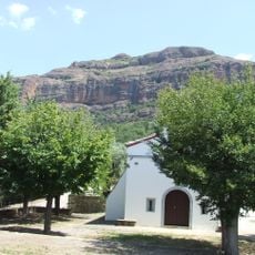
Roca Foradada
4.2 km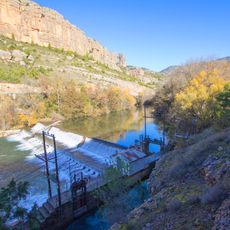
Presa de Sossís
2.6 km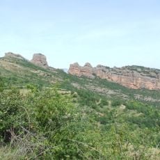
Roc de Santa
4.8 km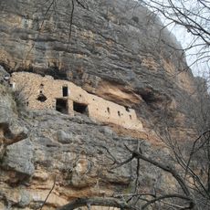
Santa Coloma
3.5 km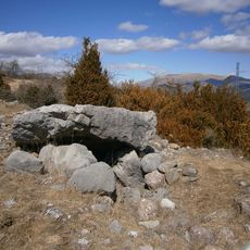
Sepulcre megalític de la Cabana de Perauba
4.2 km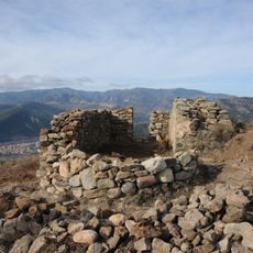
Sant Aleix de Claverol
4.5 km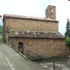
La Nativitat de la Mare de Déu de Sossís
4.2 km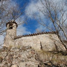
Santa Anna de Cortscastell
4.2 km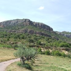
Tossal de la Vinya
2 km
Fàbrica de licors
5.4 km
Borda del Ros
2.6 km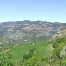
Lo Tossalet
3.2 km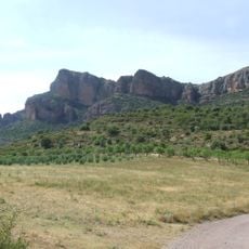
Tossal Gros
1.7 km
Vileres
4.8 km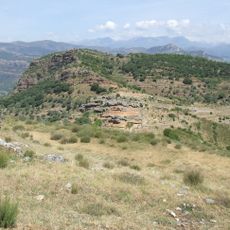
Roc de Tomàs
4.7 km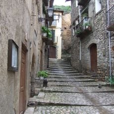
Carrer Major de Sossís
4.1 km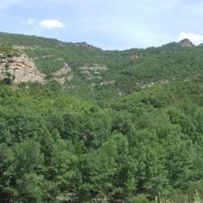
Llania de Dalt
3.6 km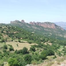
Tros Pla
5.1 km
Recinte fortificat de la Pobla de Segur
5.4 kmReviews
Visited this place? Tap the stars to rate it and share your experience / photos with the community! Try now! You can cancel it anytime.
Discover hidden gems everywhere you go!
From secret cafés to breathtaking viewpoints, skip the crowded tourist spots and find places that match your style. Our app makes it easy with voice search, smart filtering, route optimization, and insider tips from travelers worldwide. Download now for the complete mobile experience.

A unique approach to discovering new places❞
— Le Figaro
All the places worth exploring❞
— France Info
A tailor-made excursion in just a few clicks❞
— 20 Minutes