
Roques Feres, mountain in Spain
Location: Ger
Elevation above the sea: 1,967.1 m
GPS coordinates: 42.45582,1.83798
Latest update: April 11, 2025 14:01
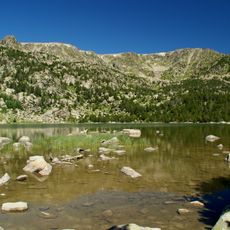
Estany de Malniu
4.2 km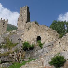
Château de Carol
4.8 km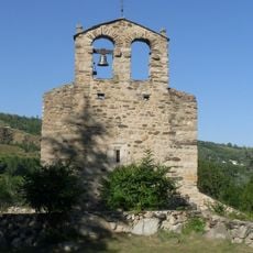
Église Saint-Fructueux d'Iravals
4.6 km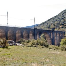
Porta Viaduct
5 km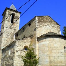
Sant Sadurní
4.3 km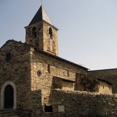
Sant Vicenç de Saneja
5.5 km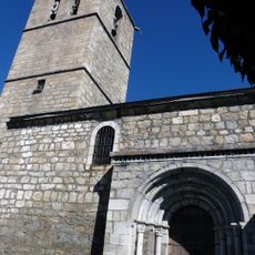
Santa Cecília de Bolvir
5.2 km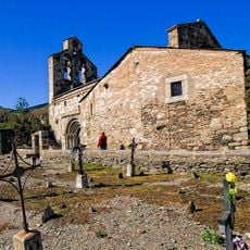
Sant Esteve de Guils
3.4 km
Santa Eugènia de Saga
4.9 km
Santa Coloma de Ger
5 km
Chapelle de Courbassil
4.4 km
Torre del Remei
5.9 km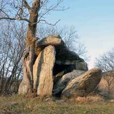
Brangolí Dolmen
6.2 km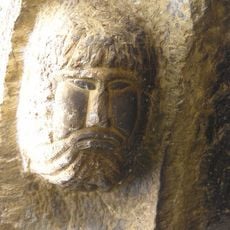
Sant Climent de Gréixer
4.9 km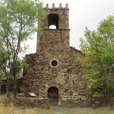
Santa Eulàlia d'Éller
5.7 km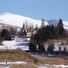
Santuari de la Mare de Déu del Remei
5.9 km
Museum space Ceretania
5.9 km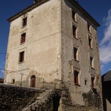
Torre de Bolvir
5.2 km
Sant Pere de Ger
4.8 km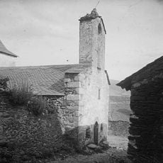
Mare de Déu de l'Esperança
5.3 km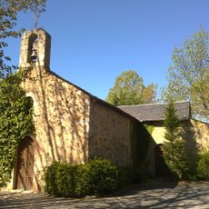
Capella de Sant Martí d'Aravó
6.4 km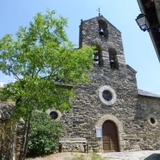
Église Saint-Étienne de Latour-de-Carol
4.5 km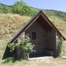
Capella de Sant Sadurní
4.1 km
Casa del Rellotge de Sol
4.3 km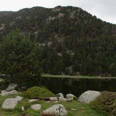
Estany Sec
4.5 km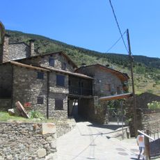
Cal Monjo
4.3 km
Rocher gravé Garreta
5.3 km
Planell de la Agulla
2.7 kmReviews
Visited this place? Tap the stars to rate it and share your experience / photos with the community! Try now! You can cancel it anytime.
Discover hidden gems everywhere you go!
From secret cafés to breathtaking viewpoints, skip the crowded tourist spots and find places that match your style. Our app makes it easy with voice search, smart filtering, route optimization, and insider tips from travelers worldwide. Download now for the complete mobile experience.

A unique approach to discovering new places❞
— Le Figaro
All the places worth exploring❞
— France Info
A tailor-made excursion in just a few clicks❞
— 20 Minutes